Earthquake Sumbawa Region, Indonesia
Sat, 14 Feb 2026 20:02:57 GMT
Time3 days ago
Location
-8.2453, 117.6914
Depth
7.8 KM
Event Summary
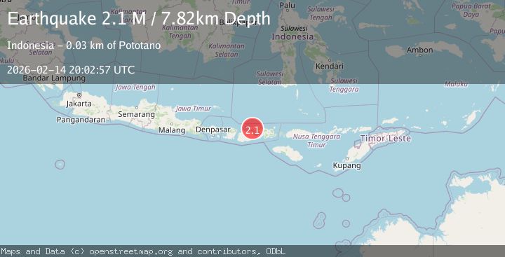
A 2.1 magnitude earthquake struck on Sumbawa Region, Indonesia, at Sat, 14 Feb 2026 20:02:57 GMT. Depth: 7.819196km. Reviewed by BMKG seismologists, this minor quake occurred at a magnitude type of M.
Magnitude
2.1
M
Source
BMKG
Intensity
-
Agency Reports
1 Sources| Source | Magnitude | Depth | Time |
|---|---|---|---|
| BMKGPrimary | 2.1 | 8 km | 3 days ago |
Earthquake Details
ManualEvent IDbmg2026ddxw
Tsunami PotentialNo
Magnitude TypeM
Nearest Places
- Tanjung Pasir1.1 km
- Tandjung Pekat1.6 km
- Doro Mbolo2.6 km
- Danau Pekat2.6 km
- Teluk Calabai3.6 km
Comments
Join the discussion about this event.
Latest Earthquakes
1.4Mag
Czech Republic
Time2 hours ago
Depth31.62 km
SourceVYT (Automatic)
2.1Mag
Southeastern Alaska
Time2 hours ago
Depth0.00 km
SourceVYT (Automatic)
1.3Mag
Southeastern Alaska
Time2 hours ago
Depth21.48 km
SourceVYT (Automatic)
1.3Mag
Western Australia
Time2 hours ago
Depth0.00 km
SourceVYT (Automatic)
2.4Mag
Northern Territory, Australia
Time2 hours ago
Depth708.13 km
SourceVYT (Automatic)
Nearby Earthquakes
2.0Mag
Sumbawa Region, Indonesia
Time3 days ago
Depth18.34 km
SourceBMKG
3.0Mag
SUMBAWA REGION, INDONESIA
Time4 years ago
Depth10.00 km
SourceDJA (Automatic)
2.1Mag
Sumbawa Region, Indonesia
Time10 hours ago
Depth21.86 km
SourceBMKG
2.2Mag
Sumbawa Region, Indonesia
Time3 days ago
Depth10.00 km
SourceBMKG
2.5Mag
Sumbawa Region, Indonesia
Time2 weeks ago
Depth10.00 km
SourceBMKG (Automatic)