Earthquake Southern Sumatra, Indonesia
Sun, 15 Feb 2026 00:07:42 GMT
Time3 days ago
Location
-5.6697, 104.3725
Depth
1.5 KM
Event Summary
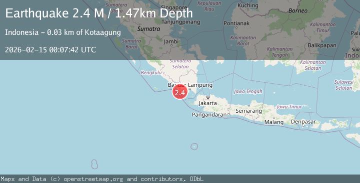
A 2.4 magnitude earthquake struck on Southern Sumatra, Indonesia, at Sun, 15 Feb 2026 00:07:42 GMT. Depth: 1.471316km. Reviewed by BMKG seismologists, this minor quake occurred at a magnitude type of M.
Magnitude
2.4
M
Source
BMKG
Intensity
-
Agency Reports
1 Sources| Source | Magnitude | Depth | Time |
|---|---|---|---|
| BMKGPrimary | 2.4 | 1 km | 3 days ago |
Earthquake Details
ManualEvent IDbmg2026defx
Tsunami PotentialNo
Magnitude TypeM
Nearest Places
- Wai Pemerihan0.8 km
- Desa Sumberejo1.6 km
- Wai Canguk2.2 km
- Rintis3.2 km
- Temuputih3.2 km
Comments
Join the discussion about this event.
Latest Earthquakes
2.1Mag
Poland
Time6 hours ago
Depth10.50 km
SourceVYT (Automatic)
1.5Mag
7 km WSW of Anza, CA
Time6 hours ago
Depth4.45 km
SourceUSGS (Automatic)
0.9Mag
Central Alaska
Time6 hours ago
Depth93.87 km
SourceVYT (Automatic)
0.7Mag
Washington
Time6 hours ago
Depth0.12 km
SourceVYT (Automatic)
3.8Mag
Salta, Argentina
Time6 hours ago
Depth207.40 km
SourceVYT (Automatic)
Nearby Earthquakes
3.0Mag
SOUTHERN SUMATRA, INDONESIA
Time4 years ago
Depth69.00 km
SourceDJA (Automatic)
2.5Mag
Southern Sumatra, Indonesia
Time3 weeks ago
Depth10.48 km
SourceBMKG (Automatic)
3.0Mag
SOUTHERN SUMATRA, INDONESIA
Time4 years ago
Depth12.00 km
SourceDJA (Automatic)
2.9Mag
SOUTHERN SUMATRA, INDONESIA
Time1 month ago
Depth60.00 km
SourceBMKG (Automatic)
2.5Mag
SOUTHERN SUMATRA, INDONESIA
Time1 month ago
Depth32.00 km
SourceBMKG (Automatic)