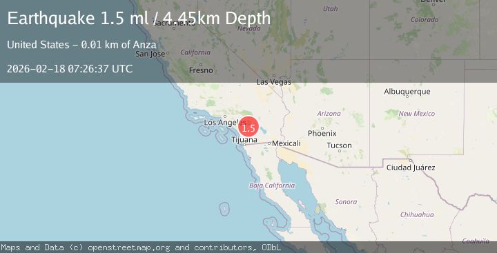
Earthquake 7 km WSW of Anza, CA
Wed, 18 Feb 2026 07:26:37 GMT
Time5 hours ago
Location
33.5240, -116.7383
Depth
4.4 KM
Event Summary
A 1.5 magnitude earthquake struck on 7 km WSW of Anza, CA, at Wed, 18 Feb 2026 07:26:37 GMT. Depth: 4.44999980926514km. Reviewed by USGS seismologists, this minor quake occurred at a magnitude type of ml.
Magnitude
1.5
ml
Source
USGS
Intensity
-
Agency Reports
1 Sources| Source | Magnitude | Depth | Time |
|---|---|---|---|
| USGSPrimary | 1.5 | 4 km | 5 hours ago |
Earthquake Details
AutomaticEvent IDusgs_ci41187463
Tsunami PotentialNo
Magnitude Typeml
Nearest Places
- Cahuilla1.9 km
- Durasno Valley2.3 km
- Cahuilla Reservation2.5 km
- Elder Canyon3.4 km
- Elder Creek3.9 km
Comments
Join the discussion about this event.
Latest Earthquakes
2.7Mag
Alaska Peninsula
Time1 hour ago
Depth10.00 km
SourceVYT (Automatic)
1.8Mag
Southern Alaska
Time1 hour ago
Depth9.03 km
SourceVYT (Automatic)
3.5Mag
Potosi, Bolivia
Time1 hour ago
Depth243.77 km
SourceVYT (Automatic)
2.0Mag
WESTERN TURKEY
Time1 hour ago
Depth10.10 km
SourceKOERI (Automatic)
2.5Mag
Germany
Time1 hour ago
Depth188.11 km
SourceVYT (Automatic)
Nearby Earthquakes
1.0Mag
7 km WSW of Anza, CA
Time3 hours ago
Depth6.08 km
SourceUSGS (Automatic)
1.0Mag
6 km WSW of Anza, CA
Time3 weeks ago
Depth4.44 km
SourceUSGS (Automatic)
3.0Mag
SOUTHERN CALIFORNIA
Time6 years ago
Depth3.00 km
SourceNEIC (Automatic)
1.2Mag
Southern California
Time4 days ago
Depth0.00 km
SourceVYT (Automatic)
0.6Mag
6 km WSW of Anza, CA
Time5 days ago
Depth3.81 km
SourceUSGS (Automatic)