Earthquake Northern Sumatra, Indonesia
Sun, 15 Feb 2026 04:28:55 GMT
Time3 days ago
Location
4.4376, 96.4841
Depth
12.0 KM
Event Summary
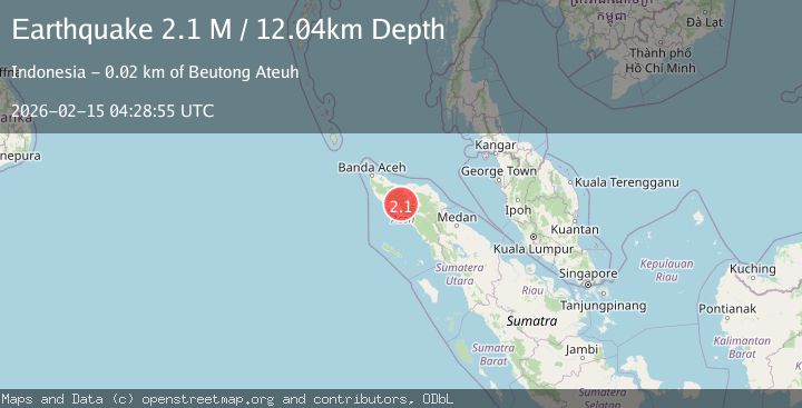
A 2.1 magnitude earthquake struck on Northern Sumatra, Indonesia, at Sun, 15 Feb 2026 04:28:55 GMT. Depth: 12.042964km. Reviewed by BMKG seismologists, this minor quake occurred at a magnitude type of M.
Magnitude
2.1
M
Source
BMKG
Intensity
-
Agency Reports
1 Sources| Source | Magnitude | Depth | Time |
|---|---|---|---|
| BMKGPrimary | 2.1 | 12 km | 3 days ago |
Earthquake Details
ManualEvent IDbmg2026deon
Tsunami PotentialNo
Magnitude TypeM
Nearest Places
- Gunung Burung1.4 km
- Gunung Kota3.0 km
- Gunung Burung3.2 km
- Alue Dayah4.0 km
- Alue Tambang4.2 km
Comments
Join the discussion about this event.
Latest Earthquakes
2.1Mag
Southeastern Alaska
Time2 hours ago
Depth0.00 km
SourceVYT (Automatic)
1.3Mag
Southeastern Alaska
Time2 hours ago
Depth21.48 km
SourceVYT (Automatic)
1.3Mag
Western Australia
Time2 hours ago
Depth0.00 km
SourceVYT (Automatic)
2.4Mag
Northern Territory, Australia
Time2 hours ago
Depth708.13 km
SourceVYT (Automatic)
2.0Mag
WESTERN TURKEY
Time2 hours ago
Depth5.20 km
SourceKOERI (Automatic)
Nearby Earthquakes
3.0Mag
NORTHERN SUMATRA, INDONESIA
Time4 years ago
Depth14.00 km
SourceDJA (Automatic)
3.0Mag
NORTHERN SUMATRA, INDONESIA
Time2 years ago
Depth10.00 km
SourceDJA (Automatic)
3.3Mag
Northern Sumatra, Indonesia
Time3 weeks ago
Depth10.00 km
SourceBMKG (Automatic)
3.0Mag
NORTHERN SUMATRA, INDONESIA
Time2 years ago
Depth10.00 km
SourceBMKG (Automatic)
3.0Mag
NORTHERN SUMATRA, INDONESIA
Time1 year ago
Depth10.00 km
SourceBMKG (Automatic)