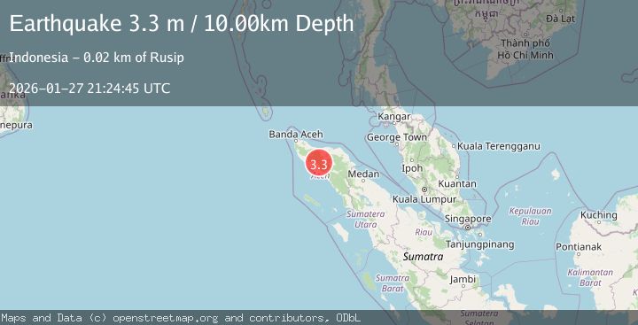
Earthquake Northern Sumatra, Indonesia
Tue, 27 Jan 2026 21:24:45 GMT
Time3 hours ago
Location
4.4518, 96.5408
Depth
6.4 KM
Event Summary
A 2.2 magnitude earthquake struck on Northern Sumatra, Indonesia, at Tue, 27 Jan 2026 21:24:45 GMT. Depth: 6.350092km. Reviewed by BMKG seismologists, this minor quake occurred at a magnitude type of M.
Magnitude
2.2
M
Source
BMKG
Intensity
-
Agency Reports
1 Sources| Source | Magnitude | Depth | Time |
|---|---|---|---|
| BMKGPrimary | 2.2 | 6 km | 3 hours ago |
Earthquake Details
AutomaticEvent IDbmg2026bxdm
Tsunami PotentialNo
Magnitude TypeM
Nearest Places
- Blangtampoh0.5 km
- Kutaleungah0.8 km
- Alue Kutabatei0.9 km
- Alue Rekuh1.2 km
- Blangpuuk1.4 km
Comments
Join the discussion about this event.
Latest Earthquakes
1.2Mag
21 km SE of Livengood, Alaska
Time3 hours ago
Depth8.60 km
SourceUSGS (Automatic)
4.1Mag
West Papua Region, Indonesia
Time3 hours ago
Depth44.55 km
SourceBMKG (Automatic)
2.0Mag
27 km E of Goodsprings, Nevada
Time4 hours ago
Depth8.10 km
SourceUSGS (Automatic)
1.0Mag
3 km WSW of Cobb, CA
Time4 hours ago
Depth11.40 km
SourceUSGS (Automatic)
4.0Mag
OFF COAST OF CHIAPAS, MEXICO
Time4 hours ago
Depth17.10 km
SourceUNM (Automatic)
Nearby Earthquakes
2.5Mag
Northern Sumatra, Indonesia
Time19 hours ago
Depth6.53 km
SourceBMKG (Automatic)
2.6Mag
Northern Sumatra, Indonesia
Time5 days ago
Depth10.00 km
SourceBMKG (Automatic)
2.1Mag
Northern Sumatra, Indonesia
Time5 days ago
Depth8.15 km
SourceBMKG (Automatic)
2.9Mag
Northern Sumatra, Indonesia
Time2 days ago
Depth30.75 km
SourceBMKG (Automatic)
2.1Mag
Northern Sumatra, Indonesia
Time4 days ago
Depth4.51 km
SourceBMKG (Automatic)