Earthquake Near North Coast of West Papua
Mon, 16 Feb 2026 10:58:07 GMT
Time2 days ago
Location
-2.9545, 140.2913
Depth
89.5 KM
Event Summary
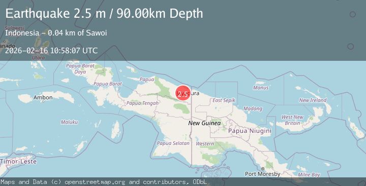
A 2.5 magnitude earthquake struck on Near North Coast of West Papua, at Mon, 16 Feb 2026 10:58:07 GMT. Depth: 89.506294km. Reviewed by BMKG seismologists, this minor quake occurred at a magnitude type of M.
Magnitude
2.5
M
Source
BMKG
Intensity
-
Agency Reports
1 Sources| Source | Magnitude | Depth | Time |
|---|---|---|---|
| BMKGPrimary | 2.5 | 90 km | 2 days ago |
Earthquake Details
ManualEvent IDbmg2026dgww
Tsunami PotentialNo
Magnitude TypeM
Nearest Places
- Kampung Kwarja2.9 km
- Nawa8.8 km
- Sungai Nawa13.4 km
- Merem14.1 km
- Kampung Nawa Mukti14.6 km
Comments
Join the discussion about this event.
Latest Earthquakes
1.7Mag
Southeastern Alaska
Time12 hours ago
Depth18.43 km
SourceVYT (Automatic)
2.6Mag
Java, Indonesia
Time12 hours ago
Depth20.76 km
SourceBMKG
0.6Mag
NORTHERN ITALY
Time12 hours ago
Depth12.00 km
SourceOGS (Automatic)
2.7Mag
Alaska Peninsula
Time12 hours ago
Depth10.00 km
SourceVYT (Automatic)
1.8Mag
Southern Alaska
Time12 hours ago
Depth9.03 km
SourceVYT (Automatic)
Nearby Earthquakes
4.0Mag
NEAR N COAST OF PAPUA, INDONESIA
Time1 year ago
Depth10.00 km
SourceBMKG (Automatic)
4.0Mag
NEAR N COAST OF PAPUA, INDONESIA
Time6 years ago
Depth23.00 km
SourceDJA (Automatic)
4.0Mag
NEAR N COAST OF PAPUA, INDONESIA
Time7 years ago
Depth22.00 km
SourceDJA (Automatic)
3.0Mag
NEAR N COAST OF PAPUA, INDONESIA
Time5 years ago
Depth10.00 km
SourceDJA (Automatic)
2.6Mag
PAPUA, INDONESIA
Time1 month ago
Depth10.00 km
SourceBMKG (Automatic)