Earthquake Talaud Islands, Indonesia
Mon, 16 Feb 2026 14:38:59 GMT
Time3 days ago
Location
4.0135, 126.9740
Depth
5.2 KM
Event Summary
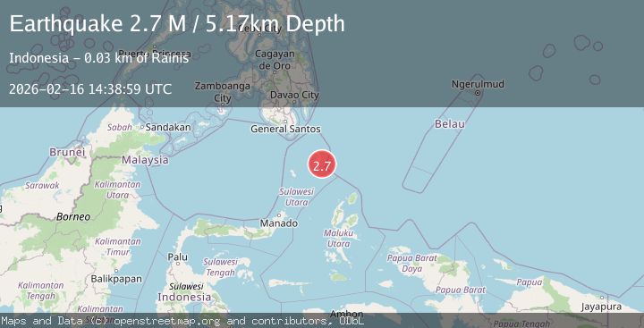
A 2.7 magnitude earthquake struck on Talaud Islands, Indonesia, at Mon, 16 Feb 2026 14:38:59 GMT. Depth: 5.172261km. Reviewed by BMKG seismologists, this minor quake occurred at a magnitude type of M.
Magnitude
2.7
M
Source
BMKG
Intensity
-
Agency Reports
1 Sources| Source | Magnitude | Depth | Time |
|---|---|---|---|
| BMKGPrimary | 2.7 | 5 km | 3 days ago |
Earthquake Details
ManualEvent IDbmg2026dhed
Tsunami PotentialNo
Magnitude TypeM
Nearest Places
- Tanjung Manalantole18.7 km
- Bowonibarua19.4 km
- Tanjung Pampini19.8 km
- Tandjung Toaduramang19.9 km
- Tule20.5 km
Comments
Join the discussion about this event.
Latest Earthquakes
3.3Mag
off the coast of Libertador O'Higgins, Chile
Time16 hours ago
Depth10.00 km
SourceVYT (Automatic)
1.0Mag
6 km SSW of Redlands, CA
Time16 hours ago
Depth10.39 km
SourceUSGS (Automatic)
1.9Mag
Central Alaska
Time17 hours ago
Depth7.57 km
SourceVYT (Automatic)
1.5Mag
Central California
Time17 hours ago
Depth0.00 km
SourceVYT (Automatic)
0.7Mag
Washington
Time17 hours ago
Depth0.00 km
SourceVYT (Automatic)
Nearby Earthquakes
5.1Mag
KEPULAUAN TALAUD, INDONESIA
Time16 years ago
Depth10.00 km
SourceEMSC (Automatic)
4.0Mag
KEPULAUAN TALAUD, INDONESIA
Time3 years ago
Depth16.00 km
SourcePIVS (Automatic)
5.1Mag
KEPULAUAN TALAUD, INDONESIA
Time9 years ago
Depth30.00 km
SourceEMSC (Automatic)
3.4Mag
Talaud Islands, Indonesia
Time3 weeks ago
Depth24.21 km
SourceBMKG (Automatic)
5.2Mag
KEPULAUAN TALAUD, INDONESIA
Time17 years ago
Depth52.00 km
SourceEMSC (Automatic)