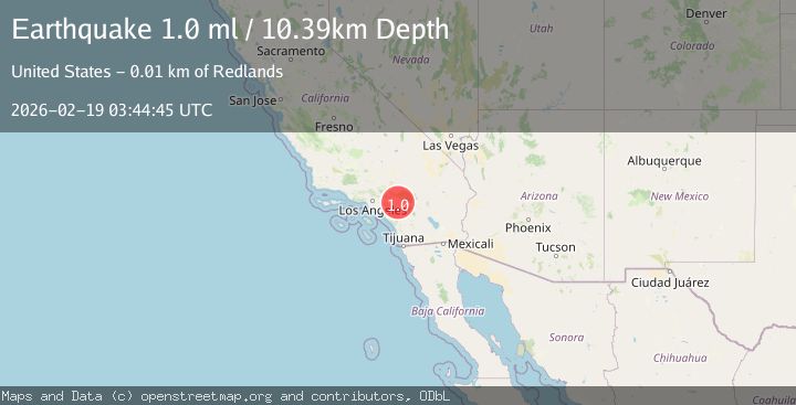
Earthquake 6 km SSW of Redlands, CA
Thu, 19 Feb 2026 03:44:45 GMT
Time1 hour ago
Location
34.0093, -117.2128
Depth
10.4 KM
Event Summary
A 1.0 magnitude earthquake struck on 6 km SSW of Redlands, CA, at Thu, 19 Feb 2026 03:44:45 GMT. Depth: 10.3900003433228km. Reviewed by USGS seismologists, this minor quake occurred at a magnitude type of ml.
Magnitude
1.0
ml
Source
USGS
Intensity
-
Agency Reports
1 Sources| Source | Magnitude | Depth | Time |
|---|---|---|---|
| USGSPrimary | 1.0 | 10 km | 1 hour ago |
Earthquake Details
AutomaticEvent IDusgs_ci41187791
Tsunami PotentialNo
Magnitude Typeml
Nearest Places
- Camp Tree Mont2.4 km
- San Timoteo Canyon2.4 km
- Redlands Station (historical)2.5 km
- KHPY-AM (Moreno Valley)2.6 km
- Console Springs2.9 km
Comments
Join the discussion about this event.
Latest Earthquakes
1.9Mag
Central Alaska
Time1 hour ago
Depth7.57 km
SourceVYT (Automatic)
1.5Mag
Central California
Time1 hour ago
Depth0.00 km
SourceVYT (Automatic)
0.7Mag
Washington
Time1 hour ago
Depth0.00 km
SourceVYT (Automatic)
2.8Mag
Antofagasta, Chile
Time1 hour ago
Depth102.66 km
SourceVYT (Automatic)
2.8Mag
Minahassa Peninsula, Sulawesi
Time1 hour ago
Depth11.18 km
SourceBMKG
Nearby Earthquakes
1.2Mag
7 km SSW of Redlands, CA
Time2 weeks ago
Depth9.35 km
SourceUSGS (Automatic)
0.7Mag
3 km SSE of Loma Linda, CA
Time2 weeks ago
Depth2.82 km
SourceUSGS (Automatic)
1.2Mag
3 km SE of Loma Linda, CA
Time1 week ago
Depth3.54 km
SourceUSGS (Automatic)
1.0Mag
3 km SSE of Loma Linda, CA
Time5 days ago
Depth1.89 km
SourceUSGS (Automatic)
1.3Mag
2 km SE of Loma Linda, CA
Time2 weeks ago
Depth14.22 km
SourceUSGS (Automatic)