Earthquake Sumba Region, Indonesia
Mon, 16 Feb 2026 16:56:11 GMT
Time2 days ago
Location
-9.4764, 119.3090
Depth
19.5 KM
Event Summary
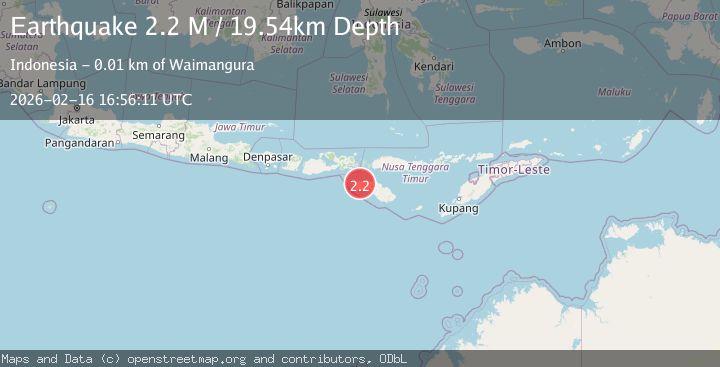
A 2.2 magnitude earthquake struck on Sumba Region, Indonesia, at Mon, 16 Feb 2026 16:56:11 GMT. Depth: 19.537409km. Reviewed by BMKG seismologists, this minor quake occurred at a magnitude type of M.
Magnitude
2.2
M
Source
BMKG
Intensity
-
Agency Reports
1 Sources| Source | Magnitude | Depth | Time |
|---|---|---|---|
| BMKGPrimary | 2.2 | 20 km | 2 days ago |
Earthquake Details
ManualEvent IDbmg2026dhir
Tsunami PotentialNo
Magnitude TypeM
Nearest Places
- Weloro0.2 km
- Werendak0.3 km
- Kombobesar0.5 km
- Totok0.8 km
- Purita0.8 km
Comments
Join the discussion about this event.
Latest Earthquakes
3.7Mag
Tarapaca, Chile
Time17 hours ago
Depth86.67 km
SourceVYT (Automatic)
2.1Mag
Halmahera, Indonesia
Time17 hours ago
Depth4.45 km
SourceBMKG
3.4Mag
Talaud Islands, Indonesia
Time17 hours ago
Depth98.99 km
SourceBMKG
2.1Mag
Flores Region, Indonesia
Time17 hours ago
Depth165.90 km
SourceBMKG
2.4Mag
Sumbawa region, Indonesia
Time17 hours ago
Depth19.65 km
SourceVYT (Automatic)
Nearby Earthquakes
2.9Mag
SUMBA REGION, INDONESIA
Time1 month ago
Depth28.00 km
SourceBMKG (Automatic)
2.4Mag
Sumba Region, Indonesia
Time3 weeks ago
Depth53.59 km
SourceBMKG (Automatic)
3.0Mag
SUMBA REGION, INDONESIA
Time3 years ago
Depth56.00 km
SourceDJA (Automatic)
2.6Mag
Sumba Region, Indonesia
Time2 weeks ago
Depth66.34 km
SourceBMKG (Automatic)
2.3Mag
Sumba Region, Indonesia
Time3 weeks ago
Depth41.02 km
SourceBMKG (Automatic)