Earthquake Bali Sea
Mon, 16 Feb 2026 18:43:05 GMT
Time1 day ago
Location
-7.9669, 115.2718
Depth
21.8 KM
Event Summary
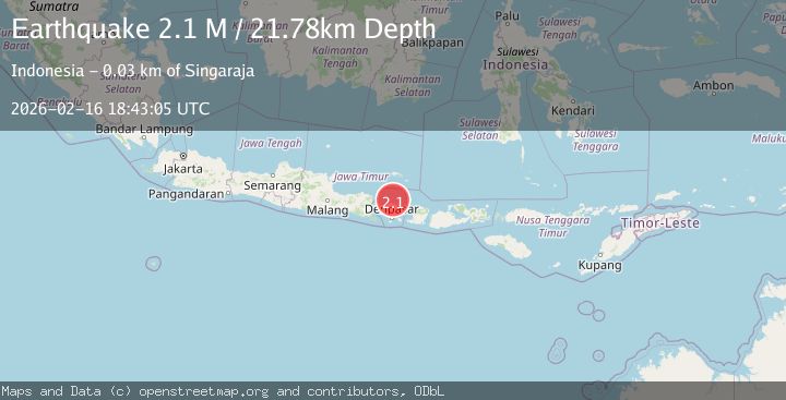
A 2.1 magnitude earthquake struck on Bali Sea, at Mon, 16 Feb 2026 18:43:05 GMT. Depth: 21.782803km. Reviewed by BMKG seismologists, this minor quake occurred at a magnitude type of M.
Magnitude
2.1
M
Source
BMKG
Intensity
-
Agency Reports
1 Sources| Source | Magnitude | Depth | Time |
|---|---|---|---|
| BMKGPrimary | 2.1 | 22 km | 1 day ago |
Earthquake Details
ManualEvent IDbmg2026dhme
Tsunami PotentialNo
Magnitude TypeM
Nearest Places
- Tanjung Batu13.0 km
- Tukad Embang13.4 km
- Tukad Glegeg13.4 km
- Tukad Ontes13.5 km
- Banjar Alassari13.5 km
Comments
Join the discussion about this event.
Latest Earthquakes
2.4Mag
Finland
Time2 minutes ago
Depth301.88 km
SourceVYT (Automatic)
1.2Mag
Alaska Peninsula
Time2 minutes ago
Depth0.12 km
SourceVYT (Automatic)
3.1Mag
DODECANESE IS.-TURKEY BORDER REG
Time9 minutes ago
Depth4.10 km
SourceKOERI (Automatic)
2.6Mag
NEAR COAST OF NICARAGUA
Time13 minutes ago
Depth38.00 km
SourceINET (Automatic)
1.4Mag
Central Alaska
Time16 minutes ago
Depth110.35 km
SourceVYT (Automatic)
Nearby Earthquakes
3.0Mag
BALI REGION, INDONESIA
Time1 year ago
Depth10.00 km
SourceBMKG (Automatic)
2.2Mag
Bali Region, Indonesia
Time2 weeks ago
Depth13.17 km
SourceBMKG (Automatic)
2.2Mag
Bali Sea
Time2 weeks ago
Depth13.62 km
SourceBMKG (Automatic)
3.0Mag
BALI REGION, INDONESIA
Time2 years ago
Depth10.00 km
SourceBMKG (Automatic)
2.5Mag
Bali Region, Indonesia
Time16 hours ago
Depth10.00 km
SourceBMKG