Earthquake Bali Region, Indonesia
Sun, 01 Feb 2026 07:32:03 GMT
Time6 days ago
Location
-8.0787, 115.2023
Depth
13.2 KM
Event Summary
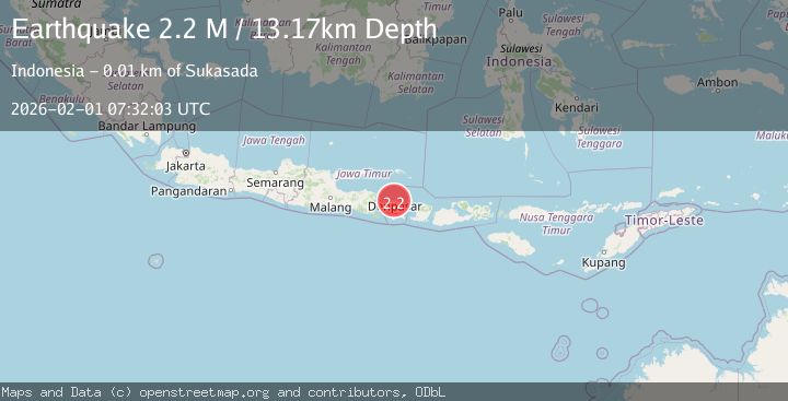
A 2.2 magnitude earthquake struck on Bali Region, Indonesia, at Sun, 01 Feb 2026 07:32:03 GMT. Depth: 13.174709km. Reviewed by BMKG seismologists, this minor quake occurred at a magnitude type of M.
Magnitude
2.2
M
Source
BMKG
Intensity
-
Agency Reports
1 Sources| Source | Magnitude | Depth | Time |
|---|---|---|---|
| BMKGPrimary | 2.2 | 13 km | 6 days ago |
Earthquake Details
AutomaticEvent IDbmg2026cffn
Tsunami PotentialNo
Magnitude TypeM
Nearest Places
- Tukad Buah0.9 km
- Tukad Pekunjingan1.1 km
- Tukad Dalem1.2 km
- Banjar Kajakangin1.2 km
- Desa Kubutambahan1.3 km
Comments
Join the discussion about this event.
Latest Earthquakes
2.6Mag
85 km N of Yakutat, Alaska
Time4 minutes ago
Depth0.40 km
SourceUSGS (Automatic)
1.2Mag
19 km NNE of Four Mile Road, Alaska
Time14 minutes ago
Depth5.00 km
SourceUSGS (Automatic)
2.0Mag
Sumbawa Region, Indonesia
Time14 minutes ago
Depth126.95 km
SourceBMKG (Automatic)
2.2Mag
Sulawesi, Indonesia
Time16 minutes ago
Depth5.00 km
SourceBMKG (Automatic)
1.2Mag
SWITZERLAND
Time20 minutes ago
Depth4.10 km
SourceETHZ (Automatic)
Nearby Earthquakes
2.2Mag
Bali Sea
Time1 week ago
Depth13.62 km
SourceBMKG (Automatic)
2.4Mag
Bali Region, Indonesia
Time1 week ago
Depth110.29 km
SourceBMKG (Automatic)
2.2Mag
Bali Region, Indonesia
Time6 days ago
Depth20.84 km
SourceBMKG (Automatic)
2.5Mag
Bali Region, Indonesia
Time2 weeks ago
Depth90.70 km
SourceBMKG (Automatic)
3.5Mag
Bali Region, Indonesia
Time6 days ago
Depth8.96 km
SourceBMKG (Automatic)