Earthquake Northern Molucca Sea
Mon, 16 Feb 2026 21:02:06 GMT
Time3 days ago
Location
1.4568, 126.3410
Depth
39.8 KM
Event Summary
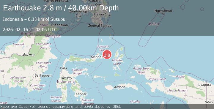
A 2.8 magnitude earthquake struck on Northern Molucca Sea, at Mon, 16 Feb 2026 21:02:06 GMT. Depth: 39.7715km. Reviewed by BMKG seismologists, this minor quake occurred at a magnitude type of M.
Magnitude
2.8
M
Source
BMKG
Intensity
-
Agency Reports
1 Sources| Source | Magnitude | Depth | Time |
|---|---|---|---|
| BMKGPrimary | 2.8 | 40 km | 3 days ago |
Earthquake Details
ManualEvent IDbmg2026dhqv
Tsunami PotentialNo
Magnitude TypeM
Nearest Places
- Kelurahan Mayau14.1 km
- Kelurahan Perum Bersatu14.5 km
- Pasirputih15.0 km
- Pulau Mayu15.4 km
- Kecamatan Pulau Batang Dua15.6 km
Comments
Join the discussion about this event.
Latest Earthquakes
2.9Mag
Timor region, Indonesia
Time13 hours ago
Depth29.05 km
SourceVYT (Automatic)
3.0Mag
Coquimbo, Chile
Time13 hours ago
Depth78.86 km
SourceVYT (Automatic)
2.0Mag
0 km WNW of The Geysers, CA
Time13 hours ago
Depth0.62 km
SourceUSGS (Automatic)
3.2Mag
western Texas
Time13 hours ago
Depth0.24 km
SourceVYT (Automatic)
2.2Mag
Finland
Time13 hours ago
Depth24.05 km
SourceVYT (Automatic)
Nearby Earthquakes
4.0Mag
MOLUCCA SEA
Time3 years ago
Depth16.00 km
SourceDJA (Automatic)
3.0Mag
MOLUCCA SEA
Time5 months ago
Depth10.00 km
SourceBMKG (Automatic)
3.1Mag
Northern Molucca Sea
Time3 weeks ago
Depth31.75 km
SourceBMKG (Automatic)
3.5Mag
MOLUCCA SEA
Time1 month ago
Depth41.00 km
SourceBMKG (Automatic)
3.0Mag
MOLUCCA SEA
Time2 years ago
Depth45.00 km
SourceBMKG (Automatic)