Earthquake Talaud Islands, Indonesia
Mon, 16 Feb 2026 22:14:10 GMT
Time2 days ago
Location
3.0435, 126.4966
Depth
14.4 KM
Event Summary
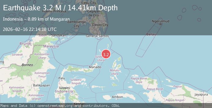
A 3.2 magnitude earthquake struck on Talaud Islands, Indonesia, at Mon, 16 Feb 2026 22:14:10 GMT. Depth: 14.405439km. Reviewed by BMKG seismologists, this minor quake occurred at a magnitude type of M.
Magnitude
3.2
M
Source
BMKG
Intensity
-
Agency Reports
1 Sources| Source | Magnitude | Depth | Time |
|---|---|---|---|
| BMKGPrimary | 3.2 | 14 km | 2 days ago |
Earthquake Details
ManualEvent IDbmg2026dhtd
Tsunami PotentialNo
Magnitude TypeM
Nearest Places
- Pulau Napumbalu77.6 km
- Tanjung Pallo84.3 km
- Tanjung Panii84.5 km
- Taduwale85.0 km
- Peret85.1 km
Comments
Join the discussion about this event.
Latest Earthquakes
2.8Mag
WESTERN AUSTRALIA
Time14 hours ago
Depth10.00 km
SourceAUST (Automatic)
1.5Mag
Southern California
Time14 hours ago
Depth18.43 km
SourceVYT (Automatic)
3.9Mag
NEAR COAST OF CENTRAL PERU
Time14 hours ago
Depth38.00 km
SourceLIM (Automatic)
3.4Mag
south of Alaska
Time14 hours ago
Depth10.00 km
SourceVYT (Automatic)
2.0Mag
WESTERN TURKEY
Time14 hours ago
Depth7.00 km
SourceAFAD (Automatic)
Nearby Earthquakes
5.2Mag
MOLUCCA SEA
Time4 years ago
Depth73.00 km
SourceEMSC (Automatic)
5.1Mag
KEPULAUAN TALAUD, INDONESIA
Time16 years ago
Depth71.00 km
SourceEMSC (Automatic)
4.0Mag
KEPULAUAN TALAUD, INDONESIA
Time7 years ago
Depth10.00 km
SourceDJA (Automatic)
5.0Mag
MOLUCCA SEA
Time3 years ago
Depth40.00 km
SourceEMSC (Automatic)
5.0Mag
MOLUCCA SEA
Time19 years ago
Depth60.00 km
SourceEMSC (Automatic)