Earthquake WESTERN AUSTRALIA
Thu, 19 Feb 2026 05:36:20 GMT
Time1 hour ago
Location
-28.1626, 123.6563
Depth
10.0 KM
Event Summary
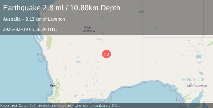
A 2.8 magnitude earthquake struck on WESTERN AUSTRALIA, at Thu, 19 Feb 2026 05:36:20 GMT. Depth: 10km. Reviewed by AUST seismologists, this minor quake occurred at a magnitude type of ml.
Magnitude
2.8
ml
Source
AUST
Intensity
-
Agency Reports
1 Sources| Source | Magnitude | Depth | Time |
|---|---|---|---|
| AUSTPrimary | 2.8 | 10 km | 1 hour ago |
Earthquake Details
AutomaticEvent IDemsc_AUST_20260219_0000091
Tsunami PotentialNo
Magnitude Typeml
Nearest Places
- Yamama1.6 km
- Salvation Well1.9 km
- Yamarna1.9 km
- Birthday Bore3.8 km
- Point Salvation5.2 km
Comments
Join the discussion about this event.
Latest Earthquakes
3.4Mag
NORTH ISLAND OF NEW ZEALAND
Time1 hour ago
Depth146.90 km
SourceGNS (Automatic)
2.6Mag
WESTERN TURKEY
Time1 hour ago
Depth7.30 km
SourceKOERI (Automatic)
3.7Mag
YUNNAN, CHINA
Time1 hour ago
Depth10.00 km
SourceTSB (Automatic)
1.5Mag
Southern California
Time1 hour ago
Depth18.43 km
SourceVYT (Automatic)
3.9Mag
NEAR COAST OF CENTRAL PERU
Time1 hour ago
Depth38.00 km
SourceLIM (Automatic)
Nearby Earthquakes
3.0Mag
WESTERN AUSTRALIA
Time4 years ago
Depth1.00 km
SourceAUST (Automatic)
3.0Mag
WESTERN AUSTRALIA
Time4 years ago
Depth1.00 km
SourceAUST (Automatic)
3.0Mag
WESTERN AUSTRALIA
Time2 years ago
Depth6.00 km
SourceAUST (Automatic)
3.0Mag
WESTERN AUSTRALIA
Time1 week ago
Depth12.00 km
SourceAUST (Automatic)
3.0Mag
WESTERN AUSTRALIA
Time11 months ago
Depth3.00 km
SourceAUST (Automatic)