Earthquake Northern Sumatra, Indonesia
Tue, 17 Feb 2026 03:09:30 GMT
Time1 day ago
Location
4.8523, 96.1297
Depth
11.0 KM
Event Summary
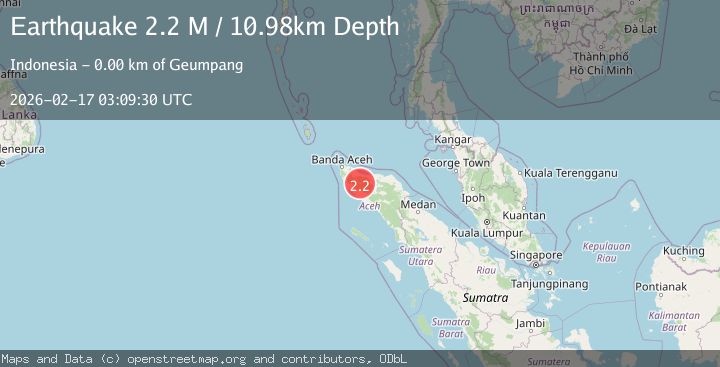
A 2.2 magnitude earthquake struck on Northern Sumatra, Indonesia, at Tue, 17 Feb 2026 03:09:30 GMT. Depth: 10.975548km. Reviewed by BMKG seismologists, this minor quake occurred at a magnitude type of M.
Magnitude
2.2
M
Source
BMKG
Intensity
-
Agency Reports
1 Sources| Source | Magnitude | Depth | Time |
|---|---|---|---|
| BMKGPrimary | 2.2 | 11 km | 1 day ago |
Earthquake Details
ManualEvent IDbmg2026dicx
Tsunami PotentialNo
Magnitude TypeM
Nearest Places
- Layan0.3 km
- Simpang Turu0.3 km
- Leupu0.5 km
- Alue Layan0.7 km
- Krueng Manggueh0.9 km
Comments
Join the discussion about this event.
Latest Earthquakes
2.6Mag
near the coast of southern Peru
Time9 hours ago
Depth81.54 km
SourceVYT (Automatic)
1.5Mag
42 km NW of Toyah, Texas
Time9 hours ago
Depth4.28 km
SourceUSGS (Automatic)
2.1Mag
Antofagasta, Chile
Time9 hours ago
Depth60.55 km
SourceVYT (Automatic)
2.6Mag
Central Alaska
Time9 hours ago
Depth0.00 km
SourceVYT (Automatic)
3.9Mag
Ceram Sea
Time9 hours ago
Depth10.40 km
SourceBMKG
Nearby Earthquakes
3.0Mag
NORTHERN SUMATRA, INDONESIA
Time1 year ago
Depth18.00 km
SourceBMKG (Automatic)
3.0Mag
NORTHERN SUMATRA, INDONESIA
Time6 months ago
Depth10.00 km
SourceBMKG (Automatic)
4.0Mag
NORTHERN SUMATRA, INDONESIA
Time6 months ago
Depth10.00 km
SourceBMKG (Automatic)
3.0Mag
NORTHERN SUMATRA, INDONESIA
Time3 years ago
Depth10.00 km
SourceDJA (Automatic)
3.0Mag
NORTHERN SUMATRA, INDONESIA
Time7 months ago
Depth10.00 km
SourceBMKG (Automatic)