Earthquake 42 km NW of Toyah, Texas
Wed, 18 Feb 2026 03:17:38 GMT
Time7 hours ago
Location
31.5330, -104.1590
Depth
4.3 KM
Event Summary
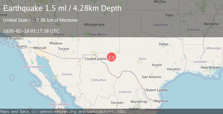
A 1.5 magnitude earthquake struck on 42 km NW of Toyah, Texas, at Wed, 18 Feb 2026 03:17:38 GMT. Depth: 4.2812km. Reviewed by USGS seismologists, this minor quake occurred at a magnitude type of ml.
Magnitude
1.5
ml
Source
USGS
Intensity
-
Agency Reports
1 Sources| Source | Magnitude | Depth | Time |
|---|---|---|---|
| USGSPrimary | 1.5 | 4 km | 7 hours ago |
Earthquake Details
AutomaticEvent IDusgs_tx2026dkjkjr
Tsunami PotentialNo
Magnitude Typeml
Nearest Places
- Brooks Ranch1.6 km
- Two Mill Draw2.1 km
- Big Canyon Draw2.4 km
- Gulf Windmill4.2 km
- Little Sulphur Windmill7.2 km
Comments
Join the discussion about this event.
Latest Earthquakes
2.9Mag
Southern Molucca Sea
Time27 minutes ago
Depth170.58 km
SourceBMKG
3.2Mag
northern Colombia
Time32 minutes ago
Depth140.50 km
SourceVYT (Automatic)
4.4Mag
Tarapaca, Chile
Time33 minutes ago
Depth47.00 km
SourceVYT (Automatic)
1.3Mag
19 km NNW of Borrego Springs, CA
Time37 minutes ago
Depth9.65 km
SourceUSGS (Automatic)
2.0Mag
Sweden
Time41 minutes ago
Depth10.00 km
SourceVYT (Automatic)
Nearby Earthquakes
1.7Mag
42 km NW of Toyah, Texas
Time10 hours ago
Depth4.46 km
SourceUSGS (Automatic)
1.7Mag
42 km NW of Toyah, Texas
Time3 weeks ago
Depth4.72 km
SourceUSGS (Automatic)
1.1Mag
41 km NW of Toyah, Texas
Time12 hours ago
Depth3.44 km
SourceUSGS (Automatic)
2.5Mag
WESTERN TEXAS
Time1 month ago
Depth5.00 km
SourceNEIC (Automatic)
1.6Mag
41 km NW of Toyah, Texas
Time9 hours ago
Depth3.46 km
SourceUSGS (Automatic)