Earthquake Sulawesi, Indonesia
Tue, 17 Feb 2026 05:09:04 GMT
Time1 day ago
Location
-2.5492, 121.5581
Depth
2.9 KM
Event Summary
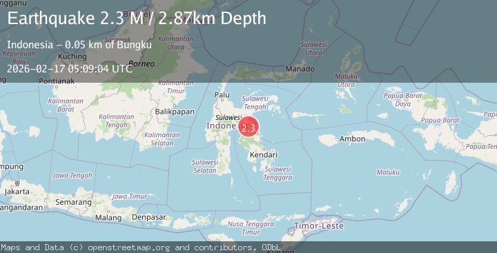
A 2.3 magnitude earthquake struck on Sulawesi, Indonesia, at Tue, 17 Feb 2026 05:09:04 GMT. Depth: 2.868426km. Reviewed by BMKG seismologists, this minor quake occurred at a magnitude type of M.
Magnitude
2.3
M
Source
BMKG
Intensity
-
Agency Reports
1 Sources| Source | Magnitude | Depth | Time |
|---|---|---|---|
| BMKGPrimary | 2.3 | 3 km | 1 day ago |
Earthquake Details
ManualEvent IDbmg2026digv
Tsunami PotentialNo
Magnitude TypeM
Nearest Places
- Desa Tole2.7 km
- Pegunungan Tokunau3.1 km
- Salo Lamunto4.3 km
- Salo Ponsoa4.3 km
- Desa Buangin4.9 km
Comments
Join the discussion about this event.
Latest Earthquakes
1.9Mag
Antofagasta, Chile
Time1 minute ago
Depth9.40 km
SourceVYT (Automatic)
1.2Mag
63 km WNW of Toyah, Texas
Time3 minutes ago
Depth0.08 km
SourceUSGS (Automatic)
1.4Mag
12 km SSW of Salton City, CA
Time7 minutes ago
Depth5.74 km
SourceUSGS (Automatic)
1.2Mag
Southern Alaska
Time12 minutes ago
Depth37.11 km
SourceVYT (Automatic)
3.0Mag
Seram, Indonesia
Time12 minutes ago
Depth12.36 km
SourceBMKG
Nearby Earthquakes
2.8Mag
SULAWESI, INDONESIA
Time1 month ago
Depth10.00 km
SourceBMKG (Automatic)
2.7Mag
Sulawesi, Indonesia
Time5 days ago
Depth0.00 km
SourceVYT (Automatic)
3.0Mag
SULAWESI, INDONESIA
Time1 year ago
Depth10.00 km
SourceBMKG (Automatic)
2.3Mag
Sulawesi, Indonesia
Time3 weeks ago
Depth5.00 km
SourceBMKG (Automatic)
2.7Mag
SULAWESI, INDONESIA
Time1 month ago
Depth5.00 km
SourceBMKG (Automatic)