Earthquake Near North Coast of West Papua
Tue, 17 Feb 2026 11:11:30 GMT
Time1 day ago
Location
-2.5650, 139.6121
Depth
29.0 KM
Event Summary
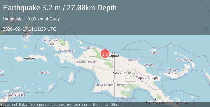
A 3.2 magnitude earthquake struck on Near North Coast of West Papua, at Tue, 17 Feb 2026 11:11:30 GMT. Depth: 28.973242km. Reviewed by BMKG seismologists, this minor quake occurred at a magnitude type of M.
Magnitude
3.2
M
Source
BMKG
Intensity
-
Agency Reports
1 Sources| Source | Magnitude | Depth | Time |
|---|---|---|---|
| BMKGPrimary | 3.2 | 27 km | 1 day ago |
Earthquake Details
ManualEvent IDbmg2026disu
Tsunami PotentialNo
Magnitude TypeM
Nearest Places
- Berian1.8 km
- Sungai Sifo3.3 km
- Sungai Tu3.7 km
- Gunung Tuterre3.8 km
- Sungai Berian4.2 km
Comments
Join the discussion about this event.
Latest Earthquakes
2.8Mag
Sulawesi, Indonesia
Time1 minute ago
Depth21.08 km
SourceBMKG
2.1Mag
WESTERN TURKEY
Time5 minutes ago
Depth12.30 km
SourceKOERI (Automatic)
2.2Mag
Alaska Peninsula
Time5 minutes ago
Depth57.74 km
SourceVYT (Automatic)
3.7Mag
WESTERN TURKEY
Time8 minutes ago
Depth13.30 km
SourceKOERI (Automatic)
1.6Mag
27 km ESE of Balmorhea, Texas
Time8 minutes ago
Depth3.56 km
SourceUSGS (Automatic)
Nearby Earthquakes
3.0Mag
NEAR N COAST OF PAPUA, INDONESIA
Time2 years ago
Depth10.00 km
SourceBMKG (Automatic)
3.0Mag
NEAR N COAST OF PAPUA, INDONESIA
Time4 years ago
Depth99.00 km
SourceDJA (Automatic)
3.0Mag
NEAR N COAST OF PAPUA, INDONESIA
Time5 months ago
Depth26.00 km
SourceBMKG (Automatic)
2.9Mag
NEAR N COAST OF PAPUA, INDONESIA
Time1 month ago
Depth21.00 km
SourceBMKG (Automatic)
4.0Mag
NEAR N COAST OF PAPUA, INDONESIA
Time2 years ago
Depth12.00 km
SourceDJA (Automatic)