Earthquake Northern Molucca Sea
Tue, 17 Feb 2026 13:00:54 GMT
Time18 hours ago
Location
0.5443, 126.8178
Depth
10.5 KM
Event Summary
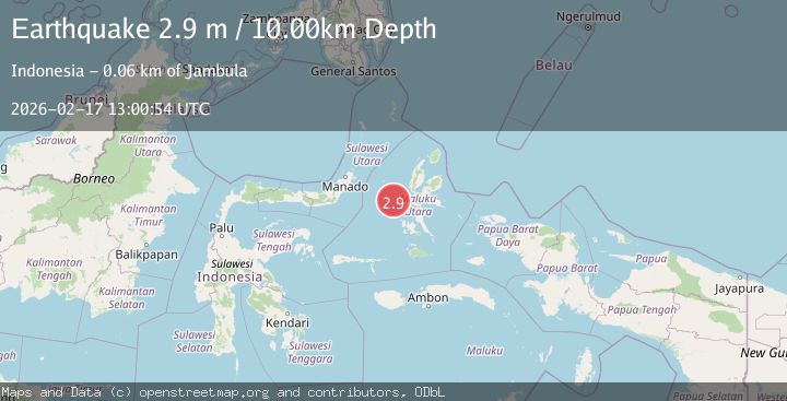
A 2.9 magnitude earthquake struck on Northern Molucca Sea, at Tue, 17 Feb 2026 13:00:54 GMT. Depth: 10.451532km. Reviewed by BMKG seismologists, this minor quake occurred at a magnitude type of M.
Magnitude
2.9
M
Source
BMKG
Intensity
-
Agency Reports
1 Sources| Source | Magnitude | Depth | Time |
|---|---|---|---|
| BMKGPrimary | 2.9 | 10 km | 18 hours ago |
Earthquake Details
ManualEvent IDbmg2026diwk
Tsunami PotentialNo
Magnitude TypeM
Nearest Places
- Ternate Trough17.5 km
- Terumbugara39.5 km
- Pulau Kotaboa54.4 km
- Pulau Goweba54.9 km
- Pulau Sebawoho55.1 km
Comments
Join the discussion about this event.
Latest Earthquakes
2.9Mag
South of Java, Indonesia
Time19 hours ago
Depth10.00 km
SourceBMKG
3.2Mag
Potosi, Bolivia
Time19 hours ago
Depth238.53 km
SourceVYT (Automatic)
2.8Mag
WESTERN TURKEY
Time19 hours ago
Depth6.50 km
SourceKOERI (Automatic)
2.5Mag
Alaska Peninsula
Time19 hours ago
Depth0.00 km
SourceVYT (Automatic)
4.3Mag
Kepulauan Aru region, Indonesia
Time19 hours ago
Depth1.22 km
SourceVYT (Automatic)
Nearby Earthquakes
3.0Mag
MOLUCCA SEA
Time2 years ago
Depth71.00 km
SourceDJA (Automatic)
3.0Mag
MOLUCCA SEA
Time5 years ago
Depth10.00 km
SourceDJA (Automatic)
3.1Mag
MOLUCCA SEA
Time1 month ago
Depth11.00 km
SourceBMKG (Automatic)
5.2Mag
MOLUCCA SEA
Time2 years ago
Depth120.00 km
SourceEMSC (Automatic)
4.0Mag
MOLUCCA SEA
Time4 years ago
Depth41.00 km
SourceDJA (Automatic)