Earthquake Mindanao, Philippines
Tue, 17 Feb 2026 14:31:34 GMT
Time21 hours ago
Location
5.3099, 126.3765
Depth
17.0 KM
Event Summary
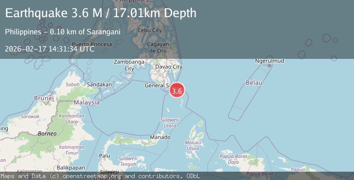
A 3.6 magnitude earthquake struck on Mindanao, Philippines, at Tue, 17 Feb 2026 14:31:34 GMT. Depth: 17.006254km. Reviewed by BMKG seismologists, this minor quake occurred at a magnitude type of M.
Magnitude
3.6
M
Source
BMKG
Intensity
-
Agency Reports
1 Sources| Source | Magnitude | Depth | Time |
|---|---|---|---|
| BMKGPrimary | 3.6 | 17 km | 21 hours ago |
Earthquake Details
ManualEvent IDbmg2026dizk
Tsunami PotentialNo
Magnitude TypeM
Nearest Places
- Pulau Baronto34.5 km
- Miangas35.0 km
- Kecamatan Miangas35.8 km
- Pulau Miangas35.8 km
- Desa Pulau Miangas35.8 km
Comments
Join the discussion about this event.
Latest Earthquakes
2.3Mag
Antofagasta, Chile
Time21 hours ago
Depth83.37 km
SourceVYT (Automatic)
2.6Mag
Sumbawa region, Indonesia
Time21 hours ago
Depth35.28 km
SourceVYT (Automatic)
3.3Mag
south of Alaska
Time21 hours ago
Depth10.00 km
SourceVYT (Automatic)
1.1Mag
8 km NW of The Geysers, CA
Time21 hours ago
Depth1.64 km
SourceUSGS (Automatic)
1.8Mag
Southern Alaska
Time22 hours ago
Depth84.35 km
SourceVYT (Automatic)
Nearby Earthquakes
3.0Mag
MINDANAO, PHILIPPINES
Time1 year ago
Depth31.00 km
SourcePIVS (Automatic)
3.0Mag
MINDANAO, PHILIPPINES
Time5 years ago
Depth41.00 km
SourcePIVS (Automatic)
3.0Mag
MINDANAO, PHILIPPINES
Time3 years ago
Depth2.00 km
SourcePIVS (Automatic)
6.1Mag
MINDANAO, PHILIPPINES
Time16 years ago
Depth80.00 km
SourceEMSC (Automatic)
5.0Mag
MINDANAO, PHILIPPINES
Time19 years ago
Depth90.00 km
SourceEMSC (Automatic)