Earthquake south of Alaska
Tue, 17 Feb 2026 14:26:39 GMT
Time20 hours ago
Location
54.2704, -159.7869
Depth
10.0 KM
Event Summary
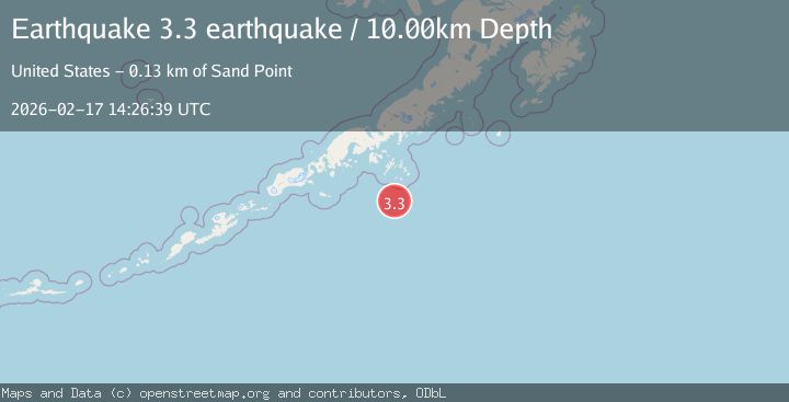
A 3.3 magnitude earthquake struck on south of Alaska, at Tue, 17 Feb 2026 14:26:39 GMT. Depth: 10km. Reviewed by VYT seismologists, this minor quake occurred at a magnitude type of earthquake.
Magnitude
3.3
earthquake
Source
VYT
Intensity
-
Agency Reports
1 Sources| Source | Magnitude | Depth | Time |
|---|---|---|---|
| VYTPrimary | 3.3 | 10 km | 20 hours ago |
Earthquake Details
AutomaticEvent IDvyt_kdc4urmt7ece
Tsunami PotentialNo
Magnitude Typeearthquake
Nearest Places
- Shumagin Bank50.2 km
- Point Farewell55.7 km
- Point Welcome58.0 km
- Chernabura Island59.3 km
- Otter Strait61.3 km
Comments
Join the discussion about this event.
Latest Earthquakes
1.8Mag
Southern Alaska
Time11 hours ago
Depth20.02 km
SourceVYT (Automatic)
3.6Mag
DOMINICA REGION, LEEWARD ISLANDS
Time11 hours ago
Depth29.60 km
SourceTRN (Automatic)
1.8Mag
Southern Alaska
Time11 hours ago
Depth16.72 km
SourceVYT (Automatic)
4.3Mag
eastern New Guinea region, Papua New Guinea
Time11 hours ago
Depth81.79 km
SourceVYT (Automatic)
1.7Mag
Southern Alaska
Time11 hours ago
Depth69.70 km
SourceVYT (Automatic)
Nearby Earthquakes
5.5Mag
125 km SSE of Sand Point, Alaska
Time3 weeks ago
Depth15.10 km
SourceUSGS
3.0Mag
SOUTH OF ALASKA
Time5 years ago
Depth28.00 km
SourceNEIC (Automatic)
3.0Mag
SOUTH OF ALASKA
Time5 years ago
Depth37.00 km
SourceNEIR (Automatic)
3.0Mag
SOUTH OF ALASKA
Time3 weeks ago
Depth31.30 km
SourceAK (Automatic)
3.0Mag
SOUTH OF ALASKA
Time2 years ago
Depth35.00 km
SourceNEIC (Automatic)