Earthquake South of Bali, Indonesia
Tue, 17 Feb 2026 17:03:38 GMT
Time19 hours ago
Location
-9.6634, 115.9630
Depth
27.3 KM
Event Summary
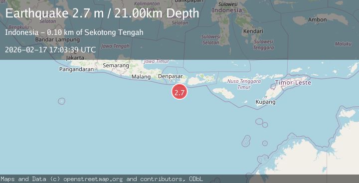
A 2.4 magnitude earthquake struck on South of Bali, Indonesia, at Tue, 17 Feb 2026 17:03:38 GMT. Depth: 27.316216km. Reviewed by BMKG seismologists, this minor quake occurred at a magnitude type of M.
Magnitude
2.4
M
Source
BMKG
Intensity
-
Agency Reports
1 Sources| Source | Magnitude | Depth | Time |
|---|---|---|---|
| BMKGPrimary | 2.4 | 27 km | 19 hours ago |
Earthquake Details
ManualEvent IDbmg2026djek
Tsunami PotentialNo
Magnitude TypeM
Nearest Places
- Lombok Basin19.3 km
- Pulau Sophialouisa82.2 km
- Tanjung Panggang84.9 km
- Gili Sarangburung85.1 km
- Gili Sarang85.6 km
Comments
Join the discussion about this event.
Latest Earthquakes
2.5Mag
south of Alaska
Time19 hours ago
Depth10.00 km
SourceVYT (Automatic)
2.1Mag
Valparaiso, Chile
Time19 hours ago
Depth0.00 km
SourceVYT (Automatic)
2.4Mag
Southern Alaska
Time19 hours ago
Depth4.15 km
SourceVYT (Automatic)
1.4Mag
21 km ESE of Bodfish, CA
Time19 hours ago
Depth4.66 km
SourceUSGS (Automatic)
1.8Mag
offshore Valparaiso, Chile
Time19 hours ago
Depth21.36 km
SourceVYT (Automatic)
Nearby Earthquakes
4.0Mag
SOUTH OF BALI, INDONESIA
Time1 year ago
Depth10.00 km
SourceBMKG (Automatic)
5.2Mag
LOMBOK REGION, INDONESIA
Time10 years ago
Depth80.00 km
SourceEMSC (Automatic)
2.7Mag
Sumbawa Region, Indonesia
Time3 days ago
Depth11.62 km
SourceBMKG
2.6Mag
SOUTH OF BALI, INDONESIA
Time1 month ago
Depth10.00 km
SourceBMKG (Automatic)
2.8Mag
LOMBOK REGION, INDONESIA
Time1 month ago
Depth26.00 km
SourceBMKG (Automatic)