Earthquake Sumbawa Region, Indonesia
Tue, 17 Feb 2026 20:03:12 GMT
Time16 hours ago
Location
-8.0195, 117.5686
Depth
13.2 KM
Event Summary
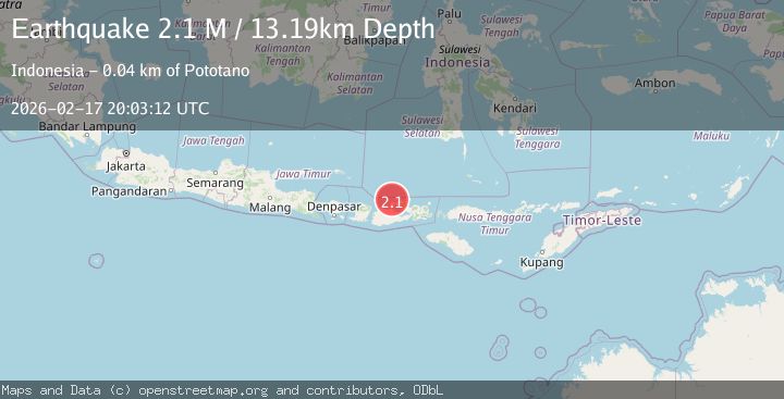
A 2.1 magnitude earthquake struck on Sumbawa Region, Indonesia, at Tue, 17 Feb 2026 20:03:12 GMT. Depth: 13.190266km. Reviewed by BMKG seismologists, this minor quake occurred at a magnitude type of M.
Magnitude
2.1
M
Source
BMKG
Intensity
-
Agency Reports
1 Sources| Source | Magnitude | Depth | Time |
|---|---|---|---|
| BMKGPrimary | 2.1 | 13 km | 16 hours ago |
Earthquake Details
ManualEvent IDbmg2026djki
Tsunami PotentialNo
Magnitude TypeM
Nearest Places
- Tanjung Sebaru14.6 km
- Sebaru14.9 km
- Bada16.5 km
- Binakarya16.9 km
- Desa Sebotok16.9 km
Comments
Join the discussion about this event.
Latest Earthquakes
1.6Mag
18 km W of Balmorhea, Texas
Time16 hours ago
Depth0.00 km
SourceUSGS (Automatic)
1.6Mag
Southern Alaska
Time16 hours ago
Depth0.85 km
SourceVYT (Automatic)
2.9Mag
Banda Sea
Time16 hours ago
Depth19.17 km
SourceVYT (Automatic)
2.7Mag
OFFSHORE EL SALVADOR
Time16 hours ago
Depth14.00 km
SourceINET (Automatic)
2.3Mag
Poland
Time16 hours ago
Depth0.00 km
SourceVYT (Automatic)
Nearby Earthquakes
4.0Mag
SUMBAWA REGION, INDONESIA
Time2 years ago
Depth242.00 km
SourceNEIC (Automatic)
2.7Mag
Bali Sea
Time1 week ago
Depth10.00 km
SourceBMKG (Automatic)
3.0Mag
BALI SEA
Time4 years ago
Depth13.00 km
SourceDJA (Automatic)
2.4Mag
Bali Sea
Time3 weeks ago
Depth10.00 km
SourceBMKG (Automatic)
2.6Mag
Sumbawa Region, Indonesia
Time2 weeks ago
Depth16.65 km
SourceBMKG (Automatic)