Earthquake Seram, Indonesia
Wed, 18 Feb 2026 04:10:31 GMT
Time6 hours ago
Location
-3.4077, 128.2484
Depth
68.2 KM
Event Summary
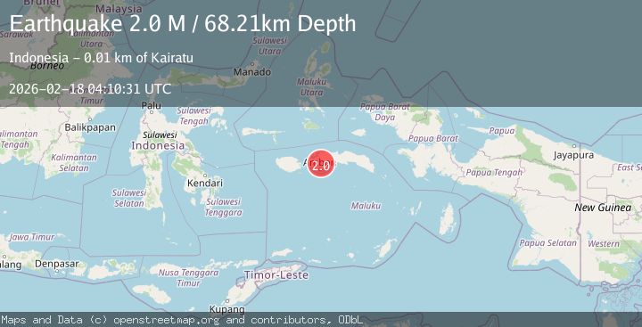
A 2.0 magnitude earthquake struck on Seram, Indonesia, at Wed, 18 Feb 2026 04:10:31 GMT. Depth: 68.207649km. Reviewed by BMKG seismologists, this minor quake occurred at a magnitude type of M.
Magnitude
2.0
M
Source
BMKG
Intensity
-
Agency Reports
1 Sources| Source | Magnitude | Depth | Time |
|---|---|---|---|
| BMKGPrimary | 2.0 | 68 km | 6 hours ago |
Earthquake Details
ManualEvent IDbmg2026dkak
Tsunami PotentialNo
Magnitude TypeM
Nearest Places
- Wae Mata9.8 km
- Tanjung Tomol9.9 km
- Tanjung Batu9.9 km
- Tanjung Lemutu10.4 km
- Tanjung Huhu10.5 km
Comments
Join the discussion about this event.
Latest Earthquakes
3.5Mag
near the coast of Antofagasta, Chile
Time6 hours ago
Depth0.00 km
SourceVYT (Automatic)
1.7Mag
Southern California
Time6 hours ago
Depth0.00 km
SourceVYT (Automatic)
3.1Mag
northern Norway
Time6 hours ago
Depth707.40 km
SourceVYT (Automatic)
2.2Mag
DODECANESE IS.-TURKEY BORDER REG
Time6 hours ago
Depth46.60 km
SourceKOERI (Automatic)
2.4Mag
Albania
Time6 hours ago
Depth14.77 km
SourceVYT (Automatic)
Nearby Earthquakes
3.0Mag
SERAM, INDONESIA
Time2 years ago
Depth10.00 km
SourceBMKG (Automatic)
4.0Mag
SERAM, INDONESIA
Time6 years ago
Depth10.00 km
SourceDJA (Automatic)
3.0Mag
SERAM, INDONESIA
Time3 years ago
Depth85.00 km
SourceDJA (Automatic)
4.0Mag
SERAM, INDONESIA
Time6 years ago
Depth10.00 km
SourceDJA (Automatic)
3.0Mag
SERAM, INDONESIA
Time4 years ago
Depth12.00 km
SourceDJA (Automatic)