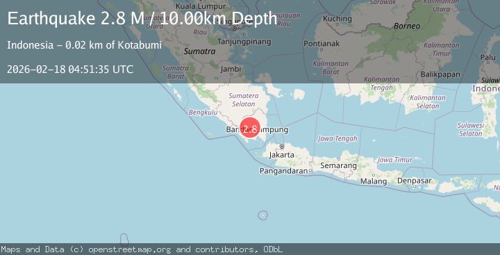
Earthquake Southern Sumatra, Indonesia
Wed, 18 Feb 2026 04:50:23 GMT
Time7 hours ago
Location
-5.2327, 104.6197
Depth
6.3 KM
Event Summary
A 2.3 magnitude earthquake struck on Southern Sumatra, Indonesia, at Wed, 18 Feb 2026 04:50:23 GMT. Depth: 6.294815km. Reviewed by BMKG seismologists, this minor quake occurred at a magnitude type of M.
Magnitude
2.3
M
Source
BMKG
Intensity
-
Agency Reports
1 Sources| Source | Magnitude | Depth | Time |
|---|---|---|---|
| BMKGPrimary | 2.3 | 6 km | 7 hours ago |
Earthquake Details
ManualEvent IDbmg2026dkbs
Tsunami PotentialNo
Magnitude TypeM
Nearest Places
- Sukamarga0.7 km
- Subanagung0.7 km
- Sindangbunga1.4 km
- Talangkedurang1.5 km
- Telagabiru1.8 km
Comments
Join the discussion about this event.
Latest Earthquakes
1.8Mag
Western Australia
Time7 hours ago
Depth0.00 km
SourceVYT (Automatic)
3.2Mag
OFF W. COAST OF S. ISLAND, N.Z.
Time7 hours ago
Depth10.00 km
SourceGNS (Automatic)
1.9Mag
Tarapaca, Chile
Time7 hours ago
Depth109.74 km
SourceVYT (Automatic)
2.1Mag
Ceram Sea
Time7 hours ago
Depth10.00 km
SourceBMKG
3.1Mag
Ceram Sea
Time7 hours ago
Depth10.00 km
SourceBMKG
Nearby Earthquakes
2.6Mag
SOUTHERN SUMATRA, INDONESIA
Time0 months ago
Depth10.00 km
SourceBMKG (Automatic)
2.1Mag
Southern Sumatra, Indonesia
Time4 days ago
Depth4.80 km
SourceBMKG
2.0Mag
Southern Sumatra, Indonesia
Time2 weeks ago
Depth10.00 km
SourceBMKG (Automatic)
3.0Mag
SOUTHERN SUMATRA, INDONESIA
Time1 month ago
Depth13.00 km
SourceBMKG (Automatic)
2.0Mag
Southern Sumatra, Indonesia
Time4 days ago
Depth10.07 km
SourceBMKG