Earthquake Banda Sea
Wed, 18 Feb 2026 05:13:03 GMT
Time1 hour ago
Location
-6.4770, 127.8031
Depth
390.7 KM
Event Summary
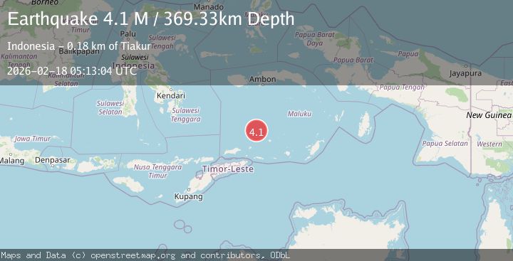
A 3.7 magnitude earthquake struck on Banda Sea, at Wed, 18 Feb 2026 05:13:03 GMT. Depth: 390.737244km. Reviewed by BMKG seismologists, this minor quake occurred at a magnitude type of M.
Magnitude
3.7
M
Source
BMKG
Intensity
-
Agency Reports
1 Sources| Source | Magnitude | Depth | Time |
|---|---|---|---|
| BMKGPrimary | 3.7 | 391 km | 1 hour ago |
Earthquake Details
ManualEvent IDbmg2026dkcm
Tsunami PotentialNo
Magnitude TypeM
Nearest Places
- South Banda Basin33.6 km
- Pulau Musleur105.6 km
- Kepulauan Barat Daya106.7 km
- Karang Skaro107.4 km
- Tanjung Tutitlakani109.1 km
Comments
Join the discussion about this event.
Latest Earthquakes
0.8Mag
6 km WNW of Cobb, CA
Time1 hour ago
Depth1.58 km
SourceUSGS (Automatic)
2.4Mag
Poland
Time1 hour ago
Depth0.24 km
SourceVYT (Automatic)
2.4Mag
San Juan, Argentina
Time1 hour ago
Depth10.00 km
SourceVYT (Automatic)
1.7Mag
Southern Alaska
Time1 hour ago
Depth13.79 km
SourceVYT (Automatic)
2.7Mag
Poland
Time1 hour ago
Depth0.00 km
SourceVYT (Automatic)
Nearby Earthquakes
4.0Mag
BANDA SEA
Time4 years ago
Depth386.00 km
SourceNEIC (Automatic)
4.0Mag
BANDA SEA
Time5 years ago
Depth389.00 km
SourceNEIC (Automatic)
6.0Mag
BANDA SEA
Time19 years ago
Depth337.00 km
SourceEMSC (Automatic)
4.0Mag
BANDA SEA
Time2 years ago
Depth354.00 km
SourceNEIC (Automatic)
4.0Mag
BANDA SEA
Time3 years ago
Depth317.00 km
SourceNEIC (Automatic)