Earthquake Northern Sumatra, Indonesia
Wed, 18 Feb 2026 15:30:38 GMT
Time3 hours ago
Location
4.8060, 96.1330
Depth
12.3 KM
Event Summary
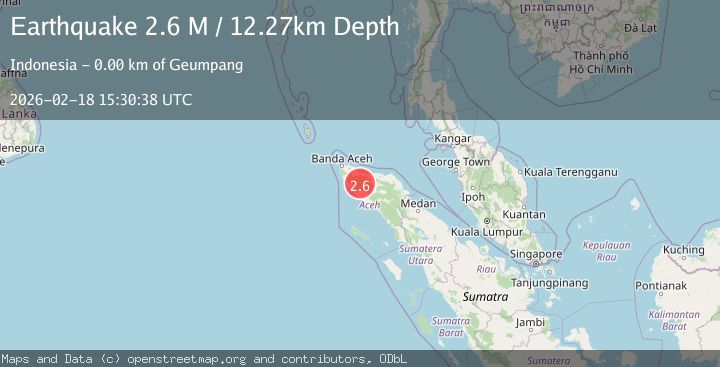
A 2.6 magnitude earthquake struck on Northern Sumatra, Indonesia, at Wed, 18 Feb 2026 15:30:38 GMT. Depth: 12.273834km. Reviewed by BMKG seismologists, this minor quake occurred at a magnitude type of M.
Magnitude
2.6
M
Source
BMKG
Intensity
-
Agency Reports
1 Sources| Source | Magnitude | Depth | Time |
|---|---|---|---|
| BMKGPrimary | 2.6 | 12 km | 3 hours ago |
Earthquake Details
ManualEvent IDbmg2026dkww
Tsunami PotentialNo
Magnitude TypeM
Nearest Places
- Gampong Bangkeh0.8 km
- Alue Baro1.2 km
- Gunung Paya Kumba1.7 km
- Gatham2.0 km
- Lhok Batee Meusayeum2.2 km
Comments
Join the discussion about this event.
Latest Earthquakes
2.4Mag
Poland
Time3 hours ago
Depth6.10 km
SourceVYT (Automatic)
3.0Mag
near the coast of Antofagasta, Chile
Time3 hours ago
Depth125.49 km
SourceVYT (Automatic)
1.7Mag
Central California
Time3 hours ago
Depth11.60 km
SourceVYT (Automatic)
1.9Mag
Central Alaska
Time3 hours ago
Depth6.84 km
SourceVYT (Automatic)
4.1Mag
Antofagasta, Chile
Time3 hours ago
Depth71.90 km
SourceVYT (Automatic)
Nearby Earthquakes
3.0Mag
NORTHERN SUMATRA, INDONESIA
Time3 years ago
Depth10.00 km
SourceDJA (Automatic)
3.0Mag
NORTHERN SUMATRA, INDONESIA
Time1 year ago
Depth10.00 km
SourceBMKG (Automatic)
3.0Mag
northern Sumatra, Indonesia
Time4 hours ago
Depth10.50 km
SourceVYT (Automatic)
3.0Mag
NORTHERN SUMATRA, INDONESIA
Time6 months ago
Depth10.00 km
SourceBMKG (Automatic)
2.1Mag
Northern Sumatra, Indonesia
Time3 weeks ago
Depth8.15 km
SourceBMKG (Automatic)