Earthquake northern Sumatra, Indonesia
Wed, 18 Feb 2026 13:43:34 GMT
Time2 hours ago
Location
4.8200, 96.1177
Depth
4.5 KM
Event Summary
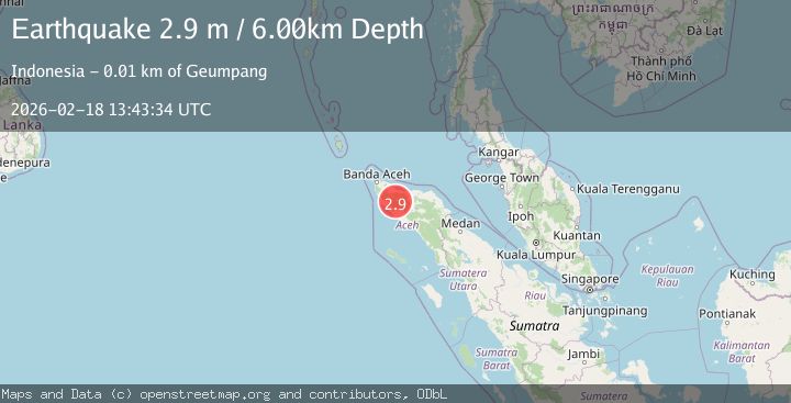
A 2.9 magnitude earthquake struck on northern Sumatra, Indonesia, at Wed, 18 Feb 2026 13:43:34 GMT. Depth: 4.5166015625km. Reviewed by VYT seismologists, this minor quake occurred at a magnitude type of earthquake.
Magnitude
2.9
earthquake
Source
VYT
Intensity
-
Agency Reports
1 Sources| Source | Magnitude | Depth | Time |
|---|---|---|---|
| VYTPrimary | 2.9 | 5 km | 2 hours ago |
Earthquake Details
AutomaticEvent IDvyt_1atcopqveyank
Tsunami PotentialNo
Magnitude Typeearthquake
Nearest Places
- Gatham1.2 km
- Gunung Paya Kumba1.9 km
- Cot Sula2.0 km
- Gampong Keune2.0 km
- Alue Bangkeuh2.0 km
Comments
Join the discussion about this event.
Latest Earthquakes
1.6Mag
Kenai Peninsula, Alaska
Time2 hours ago
Depth42.60 km
SourceVYT (Automatic)
2.4Mag
Finland
Time2 hours ago
Depth301.88 km
SourceVYT (Automatic)
1.2Mag
Alaska Peninsula
Time2 hours ago
Depth0.12 km
SourceVYT (Automatic)
2.6Mag
SAN JUAN, ARGENTINA
Time2 hours ago
Depth92.00 km
SourceNSNA (Automatic)
4.1Mag
NEAR COAST OF NORTHERN PERU
Time2 hours ago
Depth35.00 km
SourceLIM (Automatic)
Nearby Earthquakes
3.0Mag
NORTHERN SUMATRA, INDONESIA
Time6 months ago
Depth10.00 km
SourceBMKG (Automatic)
3.0Mag
NORTHERN SUMATRA, INDONESIA
Time3 years ago
Depth10.00 km
SourceDJA (Automatic)
2.2Mag
Northern Sumatra, Indonesia
Time1 day ago
Depth10.98 km
SourceBMKG
3.0Mag
NORTHERN SUMATRA, INDONESIA
Time1 year ago
Depth10.00 km
SourceBMKG (Automatic)
3.0Mag
NORTHERN SUMATRA, INDONESIA
Time1 year ago
Depth18.00 km
SourceBMKG (Automatic)