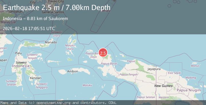
Earthquake West Papua Region, Indonesia
Wed, 18 Feb 2026 17:05:51 GMT
Time1 hour ago
Location
-0.4520, 132.8777
Depth
7.5 KM
Event Summary
A 2.4 magnitude earthquake struck on West Papua Region, Indonesia, at Wed, 18 Feb 2026 17:05:51 GMT. Depth: 7.470184km. Reviewed by BMKG seismologists, this minor quake occurred at a magnitude type of M.
Magnitude
2.4
M
Source
BMKG
Intensity
-
Agency Reports
1 Sources| Source | Magnitude | Depth | Time |
|---|---|---|---|
| BMKGPrimary | 2.4 | 7 km | 1 hour ago |
Earthquake Details
ManualEvent IDbmg2026dkzz
Tsunami PotentialNo
Magnitude TypeM
Nearest Places
- Wau0.8 km
- Tanjung Saukris8.2 km
- Saukris9.3 km
- Sungai Wermon9.6 km
- Sungai Manggen9.8 km
Comments
Join the discussion about this event.
Latest Earthquakes
1.9Mag
Tarapaca, Chile
Time1 hour ago
Depth7.93 km
SourceVYT (Automatic)
2.7Mag
Antofagasta, Chile
Time1 hour ago
Depth0.00 km
SourceVYT (Automatic)
2.7Mag
Tarapaca, Chile
Time1 hour ago
Depth10.50 km
SourceVYT (Automatic)
2.7Mag
South of Java, Indonesia
Time1 hour ago
Depth24.46 km
SourceBMKG
2.8Mag
Flores Sea
Time1 hour ago
Depth187.74 km
SourceVYT (Automatic)
Nearby Earthquakes
4.0Mag
NEAR N COAST OF PAPUA, INDONESIA
Time2 years ago
Depth10.00 km
SourceDJA (Automatic)
6.0Mag
NEAR N COAST OF PAPUA, INDONESIA
Time16 years ago
Depth40.00 km
SourceEMSC (Automatic)
3.0Mag
NEAR N COAST OF PAPUA, INDONESIA
Time2 years ago
Depth10.00 km
SourceDJA (Automatic)
5.0Mag
NEAR N COAST OF PAPUA, INDONESIA
Time17 years ago
Depth40.00 km
SourceEMSC (Automatic)
2.3Mag
West Papua Region, Indonesia
Time5 days ago
Depth10.00 km
SourceBMKG