Earthquake Northern Sumatra, Indonesia
Thu, 19 Feb 2026 09:27:18 GMT
Time2 hours ago
Location
0.5710, 98.5872
Depth
14.7 KM
Event Summary
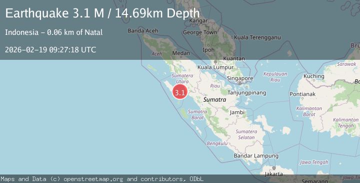
A 3.1 magnitude earthquake struck on Northern Sumatra, Indonesia, at Thu, 19 Feb 2026 09:27:18 GMT. Depth: 14.687299km. Reviewed by BMKG seismologists, this minor quake occurred at a magnitude type of M.
Magnitude
3.1
M
Source
BMKG
Intensity
-
Agency Reports
1 Sources| Source | Magnitude | Depth | Time |
|---|---|---|---|
| BMKGPrimary | 3.1 | 15 km | 2 hours ago |
Earthquake Details
ManualEvent IDbmg2026dmgj
Tsunami PotentialNo
Magnitude TypeM
Nearest Places
- Tanjung Batubatu43.5 km
- Lambak44.8 km
- Tanjung Rapa-rapa45.6 km
- Tanjung Antimonang46.3 km
- Desa Lambak47.6 km
Comments
Join the discussion about this event.
Latest Earthquakes
1.4Mag
Kenai Peninsula, Alaska
Time2 hours ago
Depth1.95 km
SourceVYT (Automatic)
1.9Mag
Channel Islands region, California
Time2 hours ago
Depth2.81 km
SourceVYT (Automatic)
3.3Mag
Southern Alaska
Time2 hours ago
Depth13.06 km
SourceVYT (Automatic)
1.9Mag
Southern Yukon Territory, Canada
Time2 hours ago
Depth0.00 km
SourceVYT (Automatic)
2.2Mag
western Texas
Time2 hours ago
Depth2.69 km
SourceVYT (Automatic)
Nearby Earthquakes
3.0Mag
NIAS REGION, INDONESIA
Time11 months ago
Depth13.00 km
SourceBMKG (Automatic)
2.8Mag
Northern Sumatra, Indonesia
Time5 days ago
Depth2.51 km
SourceBMKG
5.5Mag
NIAS REGION, INDONESIA
Time17 years ago
Depth54.00 km
SourceEMSC (Automatic)
5.6Mag
NIAS REGION, INDONESIA
Time9 years ago
Depth40.00 km
SourceEMSC (Automatic)
3.1Mag
Northern Sumatra, Indonesia
Time6 days ago
Depth28.67 km
SourceBMKG