Earthquake West Papua Region, Indonesia
Thu, 19 Feb 2026 14:16:57 GMT
Time1 hour ago
Location
-2.1026, 133.4596
Depth
10.0 KM
Event Summary
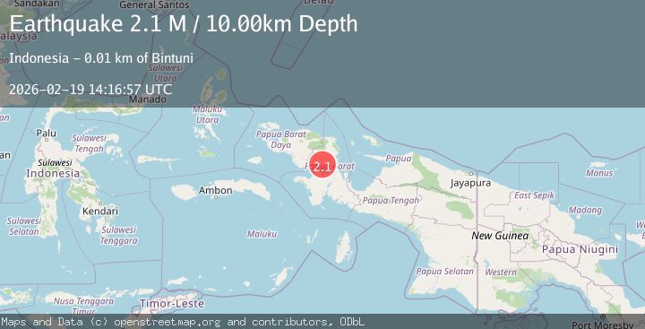
A 2.1 magnitude earthquake struck on West Papua Region, Indonesia, at Thu, 19 Feb 2026 14:16:57 GMT. Depth: 10km. Reviewed by BMKG seismologists, this minor quake occurred at a magnitude type of M.
Magnitude
2.1
M
Source
BMKG
Intensity
-
Agency Reports
1 Sources| Source | Magnitude | Depth | Time |
|---|---|---|---|
| BMKGPrimary | 2.1 | 10 km | 1 hour ago |
Earthquake Details
ManualEvent IDbmg2026dmpx
Tsunami PotentialNo
Magnitude TypeM
Nearest Places
- Kelurahan Bintuni Barat3.6 km
- Masu4.5 km
- Wesiri4.6 km
- Distrik Bintuni5.5 km
- Bintuni Barat6.4 km
Comments
Join the discussion about this event.
Latest Earthquakes
0.6Mag
6 km WNW of Cobb, CA
Time1 hour ago
Depth1.83 km
SourceUSGS (Automatic)
0.7Mag
Northern Territory, Australia
Time1 hour ago
Depth74.10 km
SourceVYT (Automatic)
2.9Mag
LA RIOJA, ARGENTINA
Time1 hour ago
Depth119.00 km
SourceNSNA (Automatic)
3.1Mag
Halmahera, Indonesia
Time1 hour ago
Depth113.40 km
SourceVYT (Automatic)
1.3Mag
WESTERN TURKEY
Time1 hour ago
Depth15.10 km
SourceAFAD (Automatic)
Nearby Earthquakes
2.2Mag
West Papua Region, Indonesia
Time1 day ago
Depth26.69 km
SourceBMKG
5.0Mag
PAPUA, INDONESIA
Time5 years ago
Depth40.00 km
SourceEMSC (Automatic)
2.7Mag
PAPUA, INDONESIA
Time1 month ago
Depth10.00 km
SourceBMKG (Automatic)
3.0Mag
PAPUA, INDONESIA
Time2 years ago
Depth15.00 km
SourceBMKG (Automatic)
3.0Mag
PAPUA, INDONESIA
Time2 years ago
Depth10.00 km
SourceBMKG (Automatic)