Earthquake Halmahera, Indonesia
Fri, 20 Feb 2026 01:03:40 GMT
Time1 hour ago
Location
1.9231, 128.3008
Depth
92.2 KM
Event Summary
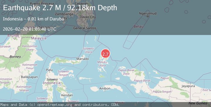
A 2.7 magnitude earthquake struck on Halmahera, Indonesia, at Fri, 20 Feb 2026 01:03:40 GMT. Depth: 92.181808km. Reviewed by BMKG seismologists, this minor quake occurred at a magnitude type of M.
Magnitude
2.7
M
Source
BMKG
Intensity
-
Agency Reports
1 Sources| Source | Magnitude | Depth | Time |
|---|---|---|---|
| BMKGPrimary | 2.7 | 92 km | 1 hour ago |
Earthquake Details
ManualEvent IDbmg2026dnlg
Tsunami PotentialNo
Magnitude TypeM
Nearest Places
- Tanjung Dehegila7.9 km
- Dehegila8.3 km
- Tanjung Liliamaceceke8.5 km
- Pulau Mitita9.1 km
- Desa Juanga9.9 km
Comments
Join the discussion about this event.
Latest Earthquakes
2.6Mag
Poland
Time1 hour ago
Depth5.00 km
SourceVYT (Automatic)
2.0Mag
Antofagasta, Chile
Time1 hour ago
Depth69.34 km
SourceVYT (Automatic)
3.0Mag
Talaud Islands, Indonesia
Time1 hour ago
Depth21.58 km
SourceBMKG
1.9Mag
Tarapaca, Chile
Time1 hour ago
Depth65.31 km
SourceVYT (Automatic)
2.4Mag
Northern Sumatra, Indonesia
Time1 hour ago
Depth1.49 km
SourceBMKG
Nearby Earthquakes
2.5Mag
Halmahera, Indonesia
Time3 days ago
Depth106.68 km
SourceBMKG
3.0Mag
HALMAHERA, INDONESIA
Time2 years ago
Depth106.00 km
SourceBMKG (Automatic)
5.3Mag
HALMAHERA, INDONESIA
Time3 years ago
Depth138.00 km
SourceEMSC (Automatic)
2.6Mag
Halmahera, Indonesia
Time3 weeks ago
Depth121.03 km
SourceBMKG (Automatic)
5.0Mag
HALMAHERA, INDONESIA
Time10 years ago
Depth100.00 km
SourceEMSC (Automatic)