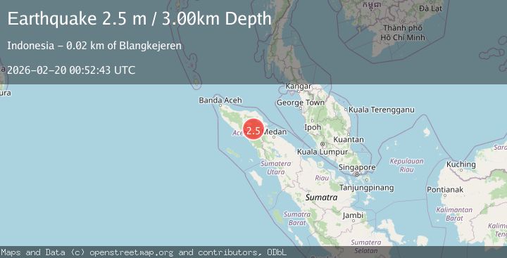
Earthquake Northern Sumatra, Indonesia
Fri, 20 Feb 2026 00:52:42 GMT
Time2 hours ago
Location
4.1680, 97.4432
Depth
1.5 KM
Event Summary
A 2.4 magnitude earthquake struck on Northern Sumatra, Indonesia, at Fri, 20 Feb 2026 00:52:42 GMT. Depth: 1.49374km. Reviewed by BMKG seismologists, this minor quake occurred at a magnitude type of M.
Magnitude
2.4
M
Source
BMKG
Intensity
-
Agency Reports
1 Sources| Source | Magnitude | Depth | Time |
|---|---|---|---|
| BMKGPrimary | 2.4 | 1 km | 2 hours ago |
Earthquake Details
ManualEvent IDbmg2026dnkx
Tsunami PotentialNo
Magnitude TypeM
Nearest Places
- Gunung Aber1.1 km
- Gunung Lojang1.8 km
- Burni Siluman3.2 km
- Burni Pepelar4.5 km
- Gunung Gemiring4.9 km
Comments
Join the discussion about this event.
Latest Earthquakes
2.0Mag
Antofagasta, Chile
Time2 hours ago
Depth69.34 km
SourceVYT (Automatic)
1.9Mag
Tarapaca, Chile
Time2 hours ago
Depth65.31 km
SourceVYT (Automatic)
1.2Mag
Southeastern Alaska
Time2 hours ago
Depth14.77 km
SourceVYT (Automatic)
2.1Mag
Central Alaska
Time3 hours ago
Depth29.79 km
SourceVYT (Automatic)
1.7Mag
7 km WNW of Hilltop, Texas
Time3 hours ago
Depth9.56 km
SourceUSGS (Automatic)
Nearby Earthquakes
2.6Mag
Northern Sumatra, Indonesia
Time2 weeks ago
Depth1.11 km
SourceBMKG (Automatic)
2.2Mag
Northern Sumatra, Indonesia
Time3 days ago
Depth5.00 km
SourceBMKG
2.1Mag
Northern Sumatra, Indonesia
Time2 weeks ago
Depth2.00 km
SourceBMKG (Automatic)
2.2Mag
Northern Sumatra, Indonesia
Time2 weeks ago
Depth5.00 km
SourceBMKG (Automatic)
2.6Mag
Northern Sumatra, Indonesia
Time3 weeks ago
Depth5.00 km
SourceBMKG (Automatic)