Earthquake New Guinea, Papua New Guinea
Fri, 20 Feb 2026 01:39:44 GMT
Time1 hour ago
Location
-3.9383, 141.9716
Depth
107.2 KM
Event Summary
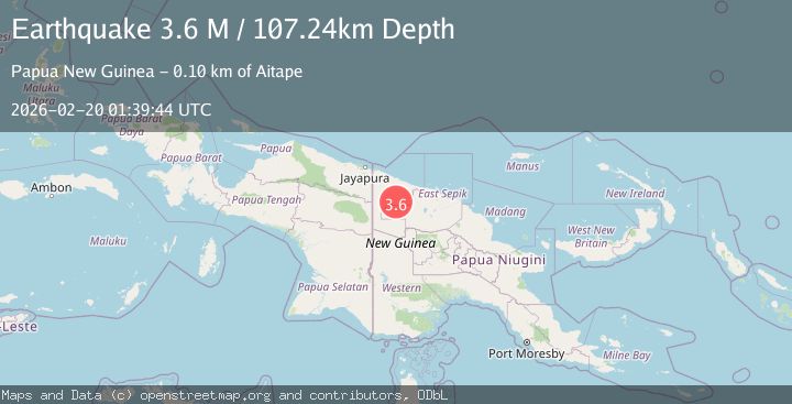
A 3.6 magnitude earthquake struck on New Guinea, Papua New Guinea, at Fri, 20 Feb 2026 01:39:44 GMT. Depth: 107.238228km. Reviewed by BMKG seismologists, this minor quake occurred at a magnitude type of M.
Magnitude
3.6
M
Source
BMKG
Intensity
-
Agency Reports
1 Sources| Source | Magnitude | Depth | Time |
|---|---|---|---|
| BMKGPrimary | 3.6 | 107 km | 1 hour ago |
Earthquake Details
ManualEvent IDbmg2026dnml
Tsunami PotentialNo
Magnitude TypeM
Nearest Places
- Wagana River5.6 km
- Mauwal Creek7.8 km
- Wowia Creek9.0 km
- Nami10.2 km
- Worikori10.2 km
Comments
Join the discussion about this event.
Latest Earthquakes
1.9Mag
Tarapaca, Chile
Time1 hour ago
Depth21.36 km
SourceVYT (Automatic)
1.2Mag
7 km NNE of Cabazon, CA
Time1 hour ago
Depth19.44 km
SourceUSGS (Automatic)
1.7Mag
15 km SSE of Fern Forest, Hawaii
Time1 hour ago
Depth1.09 km
SourceUSGS (Automatic)
2.2Mag
Sulawesi, Indonesia
Time1 hour ago
Depth12.17 km
SourceBMKG
3.0Mag
OFFSHORE EL SALVADOR
Time1 hour ago
Depth35.00 km
SourceINET (Automatic)
Nearby Earthquakes
5.0Mag
NEW GUINEA, PAPUA NEW GUINEA
Time17 years ago
Depth80.00 km
SourceEMSC (Automatic)
5.3Mag
NEW GUINEA, PAPUA NEW GUINEA
Time7 months ago
Depth108.00 km
SourceEMSC (Automatic)
6.0Mag
NEW GUINEA, PAPUA NEW GUINEA
Time15 years ago
Depth37.00 km
SourceEMSC (Automatic)
5.2Mag
NEAR N COAST OF NEW GUINEA, PNG.
Time11 years ago
Depth52.00 km
SourceEMSC (Automatic)
4.0Mag
NEW GUINEA, PAPUA NEW GUINEA
Time4 years ago
Depth77.00 km
SourceDJA (Automatic)