Earthquake West Papua Region, Indonesia
Fri, 20 Feb 2026 11:50:40 GMT
Time1 hour ago
Location
-3.9167, 135.5919
Depth
10.0 KM
Event Summary
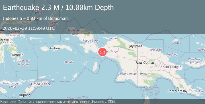
A 2.3 magnitude earthquake struck on West Papua Region, Indonesia, at Fri, 20 Feb 2026 11:50:40 GMT. Depth: 10km. Reviewed by BMKG seismologists, this minor quake occurred at a magnitude type of M.
Magnitude
2.3
M
Source
BMKG
Intensity
-
Agency Reports
1 Sources| Source | Magnitude | Depth | Time |
|---|---|---|---|
| BMKGPrimary | 2.3 | 10 km | 1 hour ago |
Earthquake Details
ManualEvent IDbmg2026dogp
Tsunami PotentialNo
Magnitude TypeM
Nearest Places
- Moma4.7 km
- Gunung Baro5.0 km
- Kampung Yegiyepa6.0 km
- Bata6.5 km
- Kampung Ukagu8.9 km
Comments
Join the discussion about this event.
Latest Earthquakes
2.5Mag
Tarapaca, Chile
Time1 hour ago
Depth0.12 km
SourceVYT (Automatic)
2.3Mag
FRANCE
Time1 hour ago
Depth5.00 km
SourceReNaSS (Automatic)
2.6Mag
Tarapaca, Chile
Time1 hour ago
Depth106.08 km
SourceVYT (Automatic)
4.0Mag
GUERRERO, MEXICO
Time1 hour ago
Depth30.30 km
SourceUNM (Automatic)
1.4Mag
Southern Alaska
Time1 hour ago
Depth28.32 km
SourceVYT (Automatic)
Nearby Earthquakes
3.3Mag
PAPUA, INDONESIA
Time1 month ago
Depth10.00 km
SourceBMKG (Automatic)
2.5Mag
PAPUA, INDONESIA
Time1 month ago
Depth12.00 km
SourceBMKG (Automatic)
2.5Mag
West Papua Region, Indonesia
Time17 hours ago
Depth12.37 km
SourceBMKG
4.0Mag
PAPUA, INDONESIA
Time4 years ago
Depth10.00 km
SourceDJA (Automatic)
3.6Mag
NEAR S COAST OF PAPUA, INDONESIA
Time1 month ago
Depth31.00 km
SourceBMKG (Automatic)