Earthquake NEAR S COAST OF PAPUA, INDONESIA
Sat, 03 Jan 2026 21:54:31 GMT
Time1 month ago
Location
-4.0900, 135.6100
Depth
31.0 KM
Event Summary
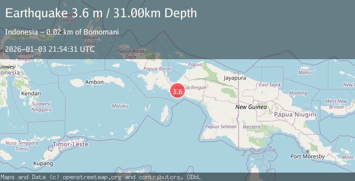
A 3.6 magnitude earthquake struck on NEAR S COAST OF PAPUA, INDONESIA, at Sat, 03 Jan 2026 21:54:31 GMT. Depth: 31km. Reviewed by BMKG seismologists, this minor quake occurred at a magnitude type of m.
Magnitude
3.6
m
Source
BMKG
Intensity
-
Agency Reports
1 Sources| Source | Magnitude | Depth | Time |
|---|---|---|---|
| BMKGPrimary | 3.6 | 31 km | 1 month ago |
Earthquake Details
AutomaticEvent IDemsc_BMKG_20260103_0000289
Tsunami PotentialNo
Magnitude Typem
Nearest Places
- Kampung Tibaugi5.8 km
- Kampung Egipa7.5 km
- Kampung Iyaro8.6 km
- Kampung Kegata9.4 km
- Pegunungan Charles Louis12.1 km
Comments
Join the discussion about this event.
Latest Earthquakes
2.9Mag
CRETE, GREECE
Time13 minutes ago
Depth13.90 km
SourceNOA (Automatic)
2.7Mag
Antofagasta, Chile
Time16 minutes ago
Depth84.84 km
SourceVYT (Automatic)
2.6Mag
Antofagasta, Chile
Time20 minutes ago
Depth155.15 km
SourceVYT (Automatic)
1.8Mag
western Texas
Time21 minutes ago
Depth10.50 km
SourceVYT (Automatic)
3.3Mag
CRETE, GREECE
Time22 minutes ago
Depth10.00 km
SourceNOA (Automatic)
Nearby Earthquakes
4.0Mag
NEAR S COAST OF PAPUA, INDONESIA
Time4 years ago
Depth11.00 km
SourceDJA (Automatic)
3.0Mag
West Papua Region, Indonesia
Time0 months ago
Depth13.42 km
SourceBMKG (Automatic)
3.6Mag
NEAR S COAST OF PAPUA, INDONESIA
Time1 month ago
Depth10.00 km
SourceBMKG (Automatic)
3.3Mag
PAPUA, INDONESIA
Time1 month ago
Depth10.00 km
SourceBMKG (Automatic)
2.5Mag
PAPUA, INDONESIA
Time1 month ago
Depth12.00 km
SourceBMKG (Automatic)