Earthquake Southern Sumatra, Indonesia
Fri, 20 Feb 2026 12:51:24 GMT
Time1 hour ago
Location
-4.8029, 103.6222
Depth
84.3 KM
Event Summary
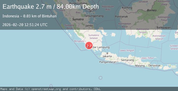
A 2.7 magnitude earthquake struck on Southern Sumatra, Indonesia, at Fri, 20 Feb 2026 12:51:24 GMT. Depth: 84.281967km. Reviewed by BMKG seismologists, this minor quake occurred at a magnitude type of M.
Magnitude
2.7
M
Source
BMKG
Intensity
-
Agency Reports
1 Sources| Source | Magnitude | Depth | Time |
|---|---|---|---|
| BMKGPrimary | 2.7 | 84 km | 1 hour ago |
Earthquake Details
ManualEvent IDbmg2026doip
Tsunami PotentialNo
Magnitude TypeM
Nearest Places
- Kecamatan Nasal3.8 km
- Bukit Bulat4.5 km
- Desa Pasar Jum’at5.4 km
- Desa Tri Jaya5.8 km
- Desa Sumber Harapan6.4 km
Comments
Join the discussion about this event.
Latest Earthquakes
2.3Mag
Halmahera, Indonesia
Time1 hour ago
Depth8.61 km
SourceBMKG
2.0Mag
Central Alaska
Time1 hour ago
Depth16.60 km
SourceVYT (Automatic)
2.6Mag
Sumba region, Indonesia
Time1 hour ago
Depth0.00 km
SourceVYT (Automatic)
2.9Mag
Java, Indonesia
Time1 hour ago
Depth130.82 km
SourceBMKG
2.6Mag
Flores Sea
Time1 hour ago
Depth261.15 km
SourceBMKG
Nearby Earthquakes
5.0Mag
SOUTHERN SUMATRA, INDONESIA
Time10 years ago
Depth123.00 km
SourceEMSC (Automatic)
2.6Mag
SOUTHERN SUMATRA, INDONESIA
Time1 month ago
Depth137.00 km
SourceBMKG (Automatic)
3.0Mag
SOUTHERN SUMATRA, INDONESIA
Time8 months ago
Depth10.00 km
SourceBMKG (Automatic)
5.3Mag
SOUTHERN SUMATRA, INDONESIA
Time11 years ago
Depth115.00 km
SourceEMSC (Automatic)
3.2Mag
SOUTHERN SUMATRA, INDONESIA
Time1 month ago
Depth71.00 km
SourceBMKG (Automatic)