Earthquake SOUTHERN SUMATRA, INDONESIA
Fri, 07 Mar 2014 16:14:54 GMT
Time11 years ago
Location
-4.5900, 103.7800
Depth
115.0 KM
Event Summary
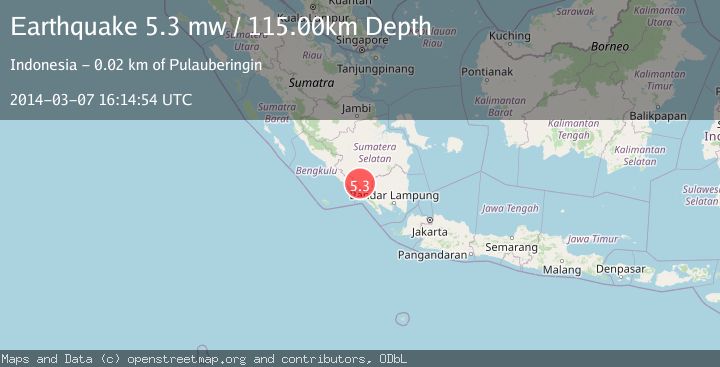
A 5.3 magnitude earthquake struck on SOUTHERN SUMATRA, INDONESIA, at Fri, 07 Mar 2014 16:14:54 GMT. Depth: 115km. Reviewed by EMSC seismologists, this moderate quake occurred at a magnitude type of mw.
Magnitude
5.3
mw
Source
EMSC
Intensity
-
Agency Reports
1 Sources| Source | Magnitude | Depth | Time |
|---|---|---|---|
| EMSCPrimary | 5.3 | 115 km | 11 years ago |
Earthquake Details
AutomaticEvent IDemsc_EMSC_20140307_0000062
Tsunami PotentialNo
Magnitude Typemw
Nearest Places
- Pematang Angkanangkan3.5 km
- Desa Sukaraja3.7 km
- Bukit Cagak4.2 km
- Desa Galang Tinggi4.4 km
- Talang Prupus4.9 km
Comments
Join the discussion about this event.
Latest Earthquakes
0.7Mag
Washington
Time1 hour ago
Depth3.42 km
SourceVYT (Automatic)
2.7Mag
Western Australia
Time1 hour ago
Depth485.47 km
SourceVYT (Automatic)
3.8Mag
Sumba region, Indonesia
Time2 hours ago
Depth127.93 km
SourceVYT (Automatic)
2.7Mag
Minahasa, Sulawesi, Indonesia
Time2 hours ago
Depth201.29 km
SourceVYT (Automatic)
4.2Mag
Talaud Islands, Indonesia
Time2 hours ago
Depth750.00 km
SourceBMKG
Nearby Earthquakes
2.6Mag
SOUTHERN SUMATRA, INDONESIA
Time1 month ago
Depth137.00 km
SourceBMKG (Automatic)
3.0Mag
SOUTHERN SUMATRA, INDONESIA
Time3 years ago
Depth161.00 km
SourceDJA (Automatic)
3.0Mag
SOUTHERN SUMATRA, INDONESIA
Time5 years ago
Depth10.00 km
SourceDJA (Automatic)
2.7Mag
Southern Sumatra, Indonesia
Time2 hours ago
Depth84.28 km
SourceBMKG
4.0Mag
SOUTHERN SUMATRA, INDONESIA
Time2 years ago
Depth10.00 km
SourceDJA (Automatic)