Earthquake West Papua Region, Indonesia
Fri, 20 Feb 2026 15:49:26 GMT
Time1 hour ago
Location
-2.7968, 134.1021
Depth
10.0 KM
Event Summary
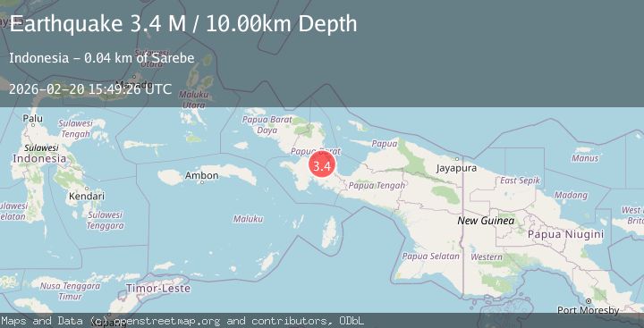
A 3.4 magnitude earthquake struck on West Papua Region, Indonesia, at Fri, 20 Feb 2026 15:49:26 GMT. Depth: 10km. Reviewed by BMKG seismologists, this minor quake occurred at a magnitude type of M.
Magnitude
3.4
M
Source
BMKG
Intensity
-
Agency Reports
1 Sources| Source | Magnitude | Depth | Time |
|---|---|---|---|
| BMKGPrimary | 3.4 | 10 km | 1 hour ago |
Earthquake Details
ManualEvent IDbmg2026doom
Tsunami PotentialNo
Magnitude TypeM
Nearest Places
- Kampung Obo6.0 km
- Distrik Kuri8.1 km
- Sungai Awi12.6 km
- Kampung Pigo12.8 km
- Sungai Pubati16.3 km
Comments
Join the discussion about this event.
Latest Earthquakes
1.5Mag
61 km S of Whites City, New Mexico
Time1 hour ago
Depth3.96 km
SourceUSGS (Automatic)
3.1Mag
WESTERN TURKEY
Time1 hour ago
Depth7.30 km
SourceAFAD (Automatic)
3.2Mag
OFFSHORE GUATEMALA
Time1 hour ago
Depth67.00 km
SourceINET (Automatic)
1.7Mag
British Columbia, Canada
Time1 hour ago
Depth11.60 km
SourceVYT (Automatic)
2.1Mag
WESTERN TURKEY
Time1 hour ago
Depth4.90 km
SourceKOERI (Automatic)
Nearby Earthquakes
5.3Mag
NEAR N COAST OF PAPUA, INDONESIA
Time19 years ago
Depth10.00 km
SourceEMSC (Automatic)
5.3Mag
NEAR N COAST OF PAPUA, INDONESIA
Time18 years ago
Depth50.00 km
SourceEMSC (Automatic)
3.0Mag
PAPUA, INDONESIA
Time2 months ago
Depth10.00 km
SourceBMKG (Automatic)
3.0Mag
PAPUA, INDONESIA
Time11 months ago
Depth10.00 km
SourceBMKG (Automatic)
3.3Mag
West Papua Region, Indonesia
Time0 months ago
Depth10.00 km
SourceBMKG (Automatic)