Earthquake West Papua Region, Indonesia
Thu, 22 Jan 2026 15:47:49 GMT
Time4 days ago
Location
-2.6991, 133.9467
Depth
10.0 KM
Event Summary
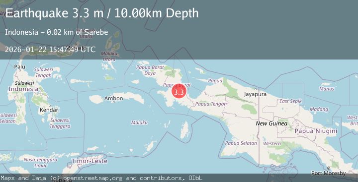
A 3.3 magnitude earthquake struck on West Papua Region, Indonesia, at Thu, 22 Jan 2026 15:47:49 GMT. Depth: 10km. Reviewed by BMKG seismologists, this minor quake occurred at a magnitude type of M.
Magnitude
3.3
M
Source
BMKG
Intensity
-
Agency Reports
1 Sources| Source | Magnitude | Depth | Time |
|---|---|---|---|
| BMKGPrimary | 3.3 | 10 km | 4 days ago |
Earthquake Details
AutomaticEvent IDbmg2026bnov
Tsunami PotentialNo
Magnitude TypeM
Nearest Places
- Kampung Refideso3.0 km
- Gunung Saserimah4.2 km
- Gunung Tatuta6.8 km
- Warmagire8.6 km
- Sungai Ennma10.6 km
Comments
Join the discussion about this event.
Latest Earthquakes
3.7Mag
Java, Indonesia
Time8 minutes ago
Depth26.88 km
SourceBMKG (Automatic)
1.7Mag
20 km ENE of Arvin, CA
Time9 minutes ago
Depth5.64 km
SourceUSGS (Automatic)
2.3Mag
57 km E of Pedro Bay, Alaska
Time15 minutes ago
Depth120.40 km
SourceUSGS (Automatic)
2.3Mag
Bali Sea
Time16 minutes ago
Depth13.31 km
SourceBMKG (Automatic)
1.9Mag
97 km S of Kokhanok, Alaska
Time21 minutes ago
Depth5.00 km
SourceUSGS (Automatic)
Nearby Earthquakes
2.9Mag
West Papua Region, Indonesia
Time1 day ago
Depth10.68 km
SourceBMKG (Automatic)
2.7Mag
West Papua Region, Indonesia
Time3 days ago
Depth14.00 km
SourceBMKG (Automatic)
3.6Mag
West Papua Region, Indonesia
Time4 days ago
Depth10.00 km
SourceBMKG (Automatic)
2.4Mag
West Papua Region, Indonesia
Time3 days ago
Depth10.00 km
SourceBMKG (Automatic)
2.5Mag
West Papua Region, Indonesia
Time3 days ago
Depth12.18 km
SourceBMKG (Automatic)