Earthquake Northern Molucca Sea
Sat, 21 Feb 2026 18:43:38 GMT
Time1 hour ago
Location
2.4819, 126.8405
Depth
96.5 KM
Event Summary
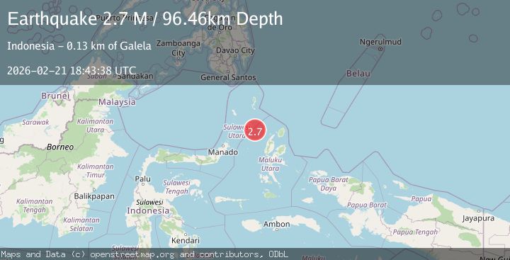
A 2.7 magnitude earthquake struck on Northern Molucca Sea, at Sat, 21 Feb 2026 18:43:38 GMT. Depth: 96.45681km. Reviewed by BMKG seismologists, this minor quake occurred at a magnitude type of M.
Magnitude
2.7
M
Source
BMKG
Intensity
-
Agency Reports
1 Sources| Source | Magnitude | Depth | Time |
|---|---|---|---|
| BMKGPrimary | 2.7 | 96 km | 1 hour ago |
Earthquake Details
ManualEvent IDbmg2026dqps
Tsunami PotentialNo
Magnitude TypeM
Nearest Places
- 101.7 km
- 102.7 km
- 102.9 km
- 104.4 km
- 105.0 km
Comments
Join the discussion about this event.
Latest Earthquakes
2.8Mag
Mendoza, Argentina
Time1 hour ago
Depth0.00 km
SourceVYT (Automatic)
2.5Mag
Northern Molucca Sea
Time1 hour ago
Depth14.72 km
SourceBMKG
2.7Mag
Minahassa Peninsula, Sulawesi
Time1 hour ago
Depth8.55 km
SourceBMKG
2.0Mag
Poland
Time1 hour ago
Depth2.08 km
SourceVYT (Automatic)
1.9Mag
46 km WNW of Nanwalek, Alaska
Time1 hour ago
Depth75.80 km
SourceUSGS (Automatic)
Nearby Earthquakes
5.2Mag
MOLUCCA SEA
Time1 year ago
Depth46.60 km
SourceEMSC (Automatic)
4.0Mag
MOLUCCA SEA
Time7 years ago
Depth13.00 km
SourceDJA (Automatic)
4.0Mag
MOLUCCA SEA
Time7 years ago
Depth10.00 km
SourceDJA (Automatic)
5.1Mag
MOLUCCA SEA
Time13 years ago
Depth49.00 km
SourceEMSC (Automatic)
4.0Mag
MOLUCCA SEA
Time7 years ago
Depth10.00 km
SourceDJA (Automatic)