Earthquake 46 km WNW of Nanwalek, Alaska
Sat, 21 Feb 2026 18:36:55 GMT
Time1 hour ago
Location
59.5240, -152.6680
Depth
75.8 KM
Event Summary
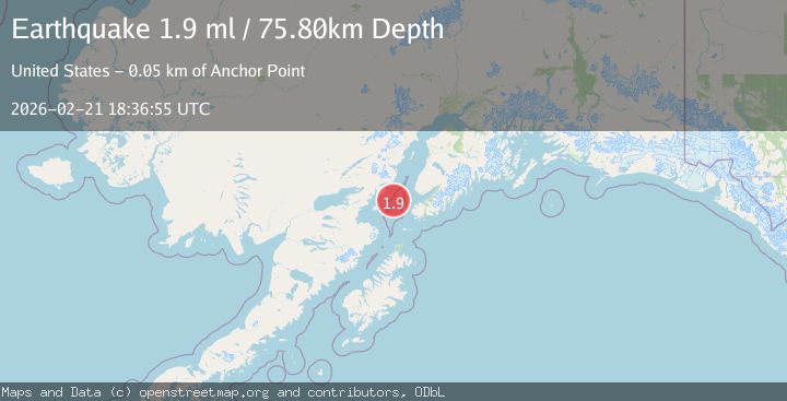
A 1.9 magnitude earthquake struck on 46 km WNW of Nanwalek, Alaska, at Sat, 21 Feb 2026 18:36:55 GMT. Depth: 75.8km. Reviewed by USGS seismologists, this minor quake occurred at a magnitude type of ml.
Magnitude
1.9
ml
Source
USGS
Intensity
-
Agency Reports
1 Sources| Source | Magnitude | Depth | Time |
|---|---|---|---|
| USGSPrimary | 1.9 | 76 km | 1 hour ago |
Earthquake Details
AutomaticEvent IDusgs_aka2026drbbjg
Tsunami PotentialNo
Magnitude Typeml
Nearest Places
- 9.9 km
- 28.7 km
- 29.3 km
- 31.3 km
- 31.4 km
Comments
Join the discussion about this event.
Latest Earthquakes
3.0Mag
Sumbawa region, Indonesia
Time2 minutes ago
Depth122.80 km
SourceVYT (Automatic)
2.8Mag
Antofagasta, Chile
Time3 minutes ago
Depth138.92 km
SourceVYT (Automatic)
1.3Mag
Central Alaska
Time5 minutes ago
Depth14.89 km
SourceVYT (Automatic)
0.7Mag
6 km WNW of Cobb, CA
Time7 minutes ago
Depth1.68 km
SourceUSGS (Automatic)
3.1Mag
Sulawesi, Indonesia
Time9 minutes ago
Depth0.00 km
SourceVYT (Automatic)
Nearby Earthquakes
2.8Mag
SOUTHERN ALASKA
Time1 month ago
Depth80.50 km
SourceNEIC (Automatic)
3.0Mag
SOUTHERN ALASKA
Time2 years ago
Depth77.00 km
SourceNEIC (Automatic)
3.0Mag
SOUTHERN ALASKA
Time8 years ago
Depth76.00 km
SourceNEIC (Automatic)
3.0Mag
SOUTHERN ALASKA
Time1 month ago
Depth76.70 km
SourceNEIC (Automatic)
4.0Mag
SOUTHERN ALASKA
Time4 years ago
Depth88.00 km
SourceNEIC (Automatic)