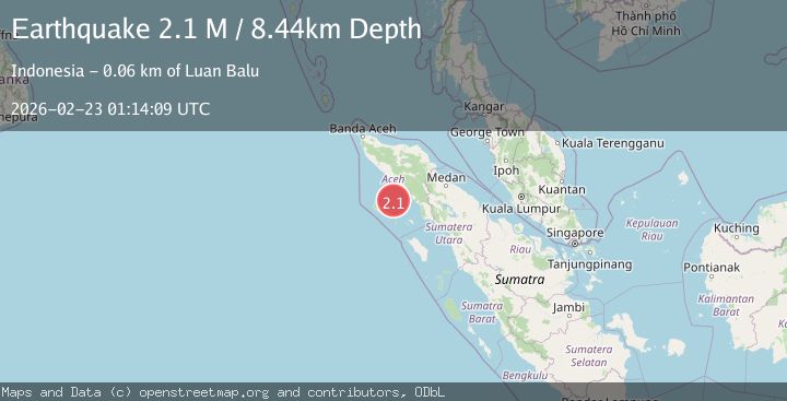
Earthquake Northern Sumatra, Indonesia
Mon, 23 Feb 2026 01:14:09 GMT
Time1 hour ago
Location
3.0159, 96.5916
Depth
12.9 KM
Event Summary
A 2.1 magnitude earthquake struck on Northern Sumatra, Indonesia, at Mon, 23 Feb 2026 01:14:09 GMT. Depth: 12.939281km. Reviewed by BMKG seismologists, this minor quake occurred at a magnitude type of M.
Magnitude
2.1
M
Source
BMKG
Intensity
-
Agency Reports
1 Sources| Source | Magnitude | Depth | Time |
|---|---|---|---|
| BMKGPrimary | 2.1 | 13 km | 1 hour ago |
Earthquake Details
ManualEvent IDbmg2026dsyc
Tsunami PotentialNo
Magnitude TypeM
Nearest Places
- 47.1 km
- 47.2 km
- 47.7 km
- 51.0 km
- 52.9 km
Comments
Join the discussion about this event.
Latest Earthquakes
2.1Mag
Tarapaca, Chile
Time1 hour ago
Depth0.00 km
SourceVYT (Automatic)
2.5Mag
ISLAND OF HAWAII, HAWAII
Time1 hour ago
Depth30.40 km
SourceHV (Automatic)
1.0Mag
25 km SW of Glacier View, Alaska
Time1 hour ago
Depth16.00 km
SourceUSGS (Automatic)
1.2Mag
6 km SE of Ackerly, Texas
Time1 hour ago
Depth3.97 km
SourceUSGS (Automatic)
2.7Mag
Halmahera, Indonesia
Time1 hour ago
Depth44.83 km
SourceBMKG
Nearby Earthquakes
3.0Mag
SIMEULUE, INDONESIA
Time2 years ago
Depth10.00 km
SourceBMKG (Automatic)
5.8Mag
SIMEULUE, INDONESIA
Time20 years ago
Depth30.00 km
SourceEMSC (Automatic)
5.2Mag
NORTHERN SUMATRA, INDONESIA
Time20 years ago
Depth33.00 km
SourceEMSC (Automatic)
5.7Mag
SIMEULUE, INDONESIA
Time20 years ago
Depth40.00 km
SourceEMSC (Automatic)
5.7Mag
SIMEULUE, INDONESIA
Time20 years ago
Depth30.00 km
SourceEMSC (Automatic)