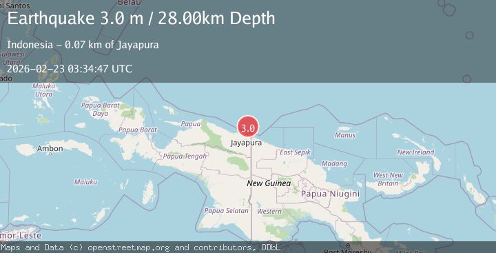
Earthquake Near North Coast of West Papua
Mon, 23 Feb 2026 03:34:51 GMT
Time1 hour ago
Location
-2.0736, 140.7847
Depth
10.0 KM
Event Summary
A 3.0 magnitude earthquake struck on Near North Coast of West Papua, at Mon, 23 Feb 2026 03:34:51 GMT. Depth: 10km. Reviewed by BMKG seismologists, this minor quake occurred at a magnitude type of M.
Magnitude
3.0
M
Source
BMKG
Intensity
-
Agency Reports
1 Sources| Source | Magnitude | Depth | Time |
|---|---|---|---|
| BMKGPrimary | 3.0 | 10 km | 1 hour ago |
Earthquake Details
ManualEvent IDbmg2026dtct
Tsunami PotentialNo
Magnitude TypeM
Nearest Places
- 45.1 km
- 47.5 km
- 47.8 km
- 48.8 km
- 49.0 km
Comments
Join the discussion about this event.
Latest Earthquakes
1.6Mag
16 km NW of Parkfield, CA
Time1 hour ago
Depth3.41 km
SourceUSGS (Automatic)
2.2Mag
CENTRAL ITALY
Time1 hour ago
Depth5.90 km
SourceINGV (Automatic)
3.6Mag
Banda Sea
Time1 hour ago
Depth166.27 km
SourceBMKG
2.2Mag
British Columbia, Canada
Time1 hour ago
Depth8.54 km
SourceVYT (Automatic)
1.1Mag
4 km W of Lake Henshaw, CA
Time1 hour ago
Depth11.90 km
SourceUSGS (Automatic)
Nearby Earthquakes
2.8Mag
NEAR N COAST OF PAPUA, INDONESIA
Time1 month ago
Depth10.00 km
SourceBMKG (Automatic)
3.0Mag
NEAR N COAST OF PAPUA, INDONESIA
Time3 years ago
Depth10.00 km
SourceDJA (Automatic)
3.1Mag
Near North Coast of West Papua
Time1 day ago
Depth10.00 km
SourceBMKG
5.0Mag
NEAR N COAST OF PAPUA, INDONESIA
Time9 years ago
Depth15.00 km
SourceEMSC (Automatic)
3.0Mag
PAPUA REGION, INDONESIA
Time1 month ago
Depth10.00 km
SourceBMKG (Automatic)