Earthquake Near North Coast of West Papua
Sat, 21 Feb 2026 23:29:24 GMT
Time1 hour ago
Location
-2.1030, 140.8477
Depth
10.0 KM
Event Summary
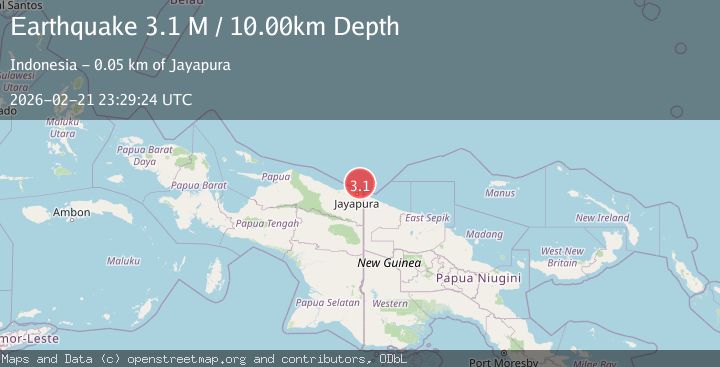
A 3.1 magnitude earthquake struck on Near North Coast of West Papua, at Sat, 21 Feb 2026 23:29:24 GMT. Depth: 10km. Reviewed by BMKG seismologists, this minor quake occurred at a magnitude type of M.
Magnitude
3.1
M
Source
BMKG
Intensity
-
Agency Reports
1 Sources| Source | Magnitude | Depth | Time |
|---|---|---|---|
| BMKGPrimary | 3.1 | 10 km | 1 hour ago |
Earthquake Details
ManualEvent IDbmg2026dqzd
Tsunami PotentialNo
Magnitude TypeM
Nearest Places
- 45.8 km
- 46.3 km
- 48.1 km
- 48.3 km
- 48.7 km
Comments
Join the discussion about this event.
Latest Earthquakes
1.4Mag
21 km ESE of Bodfish, CA
Time1 hour ago
Depth2.14 km
SourceUSGS (Automatic)
3.7Mag
JUJUY, ARGENTINA
Time1 hour ago
Depth190.00 km
SourceCSN (Automatic)
2.3Mag
Antofagasta, Chile
Time1 hour ago
Depth0.00 km
SourceVYT (Automatic)
1.6Mag
22 km WSW of New Idria, CA
Time1 hour ago
Depth5.70 km
SourceUSGS (Automatic)
2.7Mag
offshore Valparaiso, Chile
Time1 hour ago
Depth0.00 km
SourceVYT (Automatic)
Nearby Earthquakes
2.8Mag
NEAR N COAST OF PAPUA, INDONESIA
Time1 month ago
Depth10.00 km
SourceBMKG (Automatic)
3.0Mag
NEAR N COAST OF PAPUA, INDONESIA
Time3 years ago
Depth10.00 km
SourceDJA (Automatic)
3.7Mag
NEAR N COAST OF PAPUA, INDONESIA
Time1 month ago
Depth10.00 km
SourceBMKG (Automatic)
3.0Mag
NEAR N COAST OF PAPUA, INDONESIA
Time3 years ago
Depth10.00 km
SourceDJA (Automatic)
3.0Mag
PAPUA REGION, INDONESIA
Time1 month ago
Depth10.00 km
SourceBMKG (Automatic)