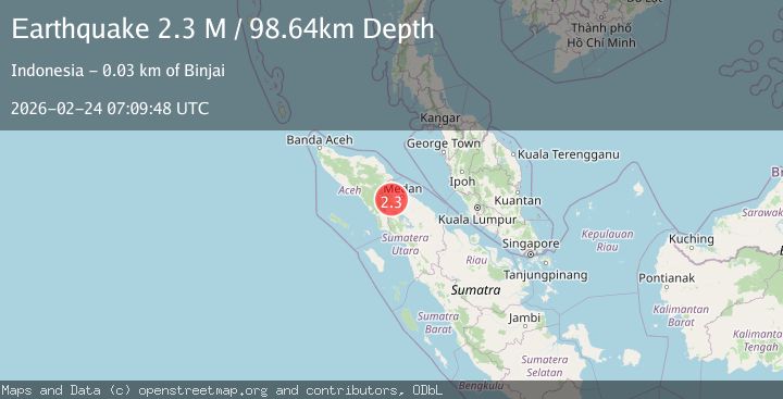
Earthquake Northern Sumatra, Indonesia
Tue, 24 Feb 2026 07:09:49 GMT
Time2 hours ago
Location
3.3531, 98.1913
Depth
97.0 KM
Event Summary
A 2.0 magnitude earthquake struck on Northern Sumatra, Indonesia, at Tue, 24 Feb 2026 07:09:49 GMT. Depth: 96.99324km. Reviewed by BMKG seismologists, this minor quake occurred at a magnitude type of M.
Magnitude
2.0
M
Source
BMKG
Intensity
-
Agency Reports
1 Sources| Source | Magnitude | Depth | Time |
|---|---|---|---|
| BMKGPrimary | 2.0 | 97 km | 2 hours ago |
Earthquake Details
ManualEvent IDbmg2026dvfi
Tsunami PotentialNo
Magnitude TypeM
Nearest Places
- 1.0 km
- 1.9 km
- 3.3 km
- 3.4 km
- 3.4 km
Comments
Join the discussion about this event.
Latest Earthquakes
1.1Mag
5 km WNW of The Geysers, CA
Time2 hours ago
Depth1.09 km
SourceUSGS (Automatic)
1.3Mag
31 km E of McKinney Acres, Texas
Time2 hours ago
Depth3.75 km
SourceUSGS (Automatic)
3.0Mag
Central California
Time2 hours ago
Depth11.47 km
SourceVYT (Automatic)
1.2Mag
5 km NW of The Geysers, CA
Time2 hours ago
Depth1.07 km
SourceUSGS (Automatic)
1.4Mag
CENTRAL TURKEY
Time3 hours ago
Depth7.00 km
SourceAFAD (Automatic)
Nearby Earthquakes
5.2Mag
NORTHERN SUMATRA, INDONESIA
Time5 years ago
Depth128.00 km
SourceEMSC (Automatic)
5.7Mag
NORTHERN SUMATRA, INDONESIA
Time9 years ago
Depth10.00 km
SourceEMSC (Automatic)
3.0Mag
NORTHERN SUMATRA, INDONESIA
Time5 years ago
Depth97.00 km
SourceDJA (Automatic)
3.0Mag
NORTHERN SUMATRA, INDONESIA
Time11 months ago
Depth136.00 km
SourceBMKG (Automatic)
3.0Mag
NORTHERN SUMATRA, INDONESIA
Time4 years ago
Depth10.00 km
SourceDJA (Automatic)