Earthquake West Papua, Indonesia
Tue, 24 Feb 2026 10:46:08 GMT
Time1 hour ago
Location
-3.1640, 139.8541
Depth
23.5 KM
Event Summary
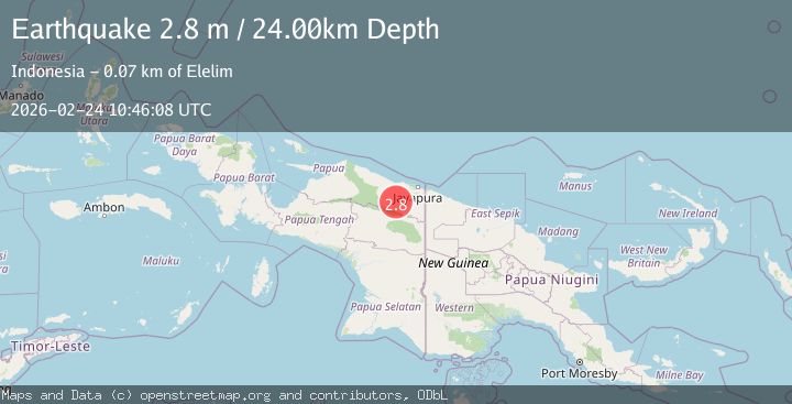
A 2.8 magnitude earthquake struck on West Papua, Indonesia, at Tue, 24 Feb 2026 10:46:08 GMT. Depth: 23.514894km. Reviewed by BMKG seismologists, this minor quake occurred at a magnitude type of M.
Magnitude
2.8
M
Source
BMKG
Intensity
-
Agency Reports
1 Sources| Source | Magnitude | Depth | Time |
|---|---|---|---|
| BMKGPrimary | 2.8 | 24 km | 1 hour ago |
Earthquake Details
ManualEvent IDbmg2026dvmm
Tsunami PotentialNo
Magnitude TypeM
Nearest Places
- 2.2 km
- 6.1 km
- 10.7 km
- 10.9 km
- 12.9 km
Comments
Join the discussion about this event.
Latest Earthquakes
1.0Mag
7 km S of Home Gardens, CA
Time1 hour ago
Depth7.22 km
SourceUSGS (Automatic)
1.0Mag
12 km SW of Toms Place, CA
Time1 hour ago
Depth9.64 km
SourceUSGS (Automatic)
1.6Mag
Kodiak Island region, Alaska
Time1 hour ago
Depth87.04 km
SourceVYT (Automatic)
1.5Mag
SPAIN
Time1 hour ago
Depth3.10 km
SourceIGN (Automatic)
2.2Mag
West Papua, Indonesia
Time1 hour ago
Depth25.65 km
SourceBMKG
Nearby Earthquakes
2.2Mag
West Papua, Indonesia
Time1 hour ago
Depth25.65 km
SourceBMKG
3.0Mag
PAPUA, INDONESIA
Time3 years ago
Depth72.00 km
SourceDJA (Automatic)
3.2Mag
West Papua, Indonesia
Time11 hours ago
Depth17.11 km
SourceBMKG
2.6Mag
West Papua, Indonesia
Time1 week ago
Depth10.00 km
SourceBMKG
5.3Mag
PAPUA, INDONESIA
Time7 years ago
Depth89.00 km
SourceEMSC (Automatic)