Earthquake Bali Region, Indonesia
Thu, 26 Feb 2026 13:18:43 GMT
Time1 hour ago
Location
-8.9086, 115.8152
Depth
61.9 KM
Event Summary
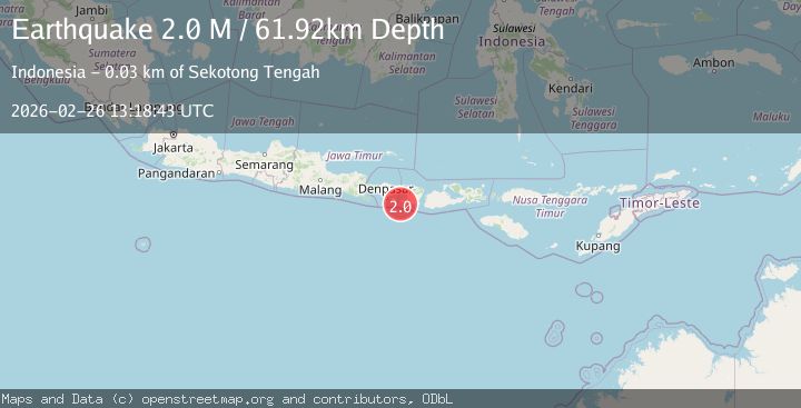
A 2.0 magnitude earthquake struck on Bali Region, Indonesia, at Thu, 26 Feb 2026 13:18:43 GMT. Depth: 61.917297km. Reviewed by BMKG seismologists, this minor quake occurred at a magnitude type of M.
Magnitude
2.0
M
Source
BMKG
Intensity
-
Agency Reports
1 Sources| Source | Magnitude | Depth | Time |
|---|---|---|---|
| BMKGPrimary | 2.0 | 62 km | 1 hour ago |
Earthquake Details
ManualEvent IDbmg2026dzin
Tsunami PotentialNo
Magnitude TypeM
Nearest Places
- 10.1 km
- 10.9 km
- 11.3 km
- 11.8 km
- 12.8 km
Comments
Join the discussion about this event.
Latest Earthquakes
1.3Mag
Tarapaca, Chile
Time1 hour ago
Depth3.78 km
SourceVYT (Automatic)
1.7Mag
Alaska Peninsula
Time1 hour ago
Depth0.12 km
SourceVYT (Automatic)
2.4Mag
West Papua Region, Indonesia
Time1 hour ago
Depth10.00 km
SourceBMKG
2.2Mag
Java, Indonesia
Time1 hour ago
Depth123.90 km
SourceBMKG
2.6Mag
ISLAND OF HAWAII, HAWAII
Time1 hour ago
Depth41.10 km
SourceHV (Automatic)
Nearby Earthquakes
3.0Mag
BALI REGION, INDONESIA
Time2 months ago
Depth18.00 km
SourceBMKG (Automatic)
3.0Mag
BALI REGION, INDONESIA
Time2 years ago
Depth160.00 km
SourceDJA (Automatic)
3.0Mag
SOUTH OF BALI, INDONESIA
Time4 years ago
Depth68.00 km
SourceDJA (Automatic)
2.1Mag
Bali Region, Indonesia
Time2 days ago
Depth13.54 km
SourceBMKG
2.2Mag
Bali Region, Indonesia
Time1 month ago
Depth84.98 km
SourceBMKG (Automatic)