Earthquake Near North Coast of West Papua
Thu, 26 Feb 2026 14:50:58 GMT
Time4 hours ago
Location
-2.2100, 140.2940
Depth
10.0 KM
Event Summary
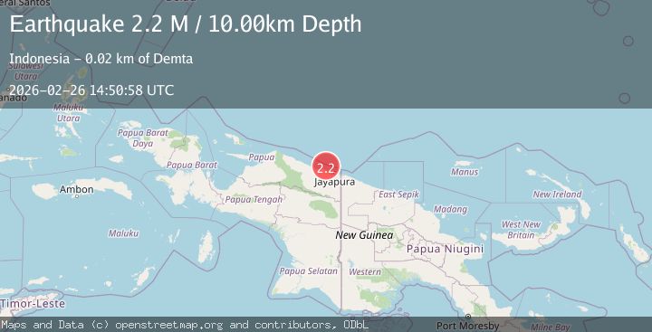
A 2.2 magnitude earthquake struck on Near North Coast of West Papua, at Thu, 26 Feb 2026 14:50:58 GMT. Depth: 10km. Reviewed by BMKG seismologists, this minor quake occurred at a magnitude type of M.
Magnitude
2.2
M
Source
BMKG
Intensity
-
Agency Reports
1 Sources| Source | Magnitude | Depth | Time |
|---|---|---|---|
| BMKGPrimary | 2.2 | 10 km | 4 hours ago |
Earthquake Details
ManualEvent IDbmg2026dzlo
Tsunami PotentialNo
Magnitude TypeM
Nearest Places
- 18.8 km
- 21.0 km
- 21.0 km
- 21.1 km
- 21.3 km
Comments
Join the discussion about this event.
Latest Earthquakes
2.6Mag
South of Sumbawa, Indonesia
Time4 hours ago
Depth10.72 km
SourceBMKG
1.9Mag
9 km SW of Volcano, Hawaii
Time4 hours ago
Depth1.95 km
SourceUSGS (Automatic)
2.9Mag
NEAR S.E. COAST OF AUSTRALIA
Time4 hours ago
Depth10.00 km
SourceAUST (Automatic)
3.8Mag
OFF E. COAST OF N. ISLAND, N.Z.
Time4 hours ago
Depth200.10 km
SourceGNS (Automatic)
3.6Mag
JUJUY, ARGENTINA
Time4 hours ago
Depth208.00 km
SourceNSNA (Automatic)
Nearby Earthquakes
4.0Mag
near the north coast of Papua, Indonesia
Time2 weeks ago
Depth0.00 km
SourceVYT (Automatic)
5.3Mag
NEAR N COAST OF PAPUA, INDONESIA
Time9 years ago
Depth10.00 km
SourceEMSC (Automatic)
3.0Mag
NEAR N COAST OF PAPUA, INDONESIA
Time1 year ago
Depth10.00 km
SourceBMKG (Automatic)
4.0Mag
NEAR N COAST OF PAPUA, INDONESIA
Time6 years ago
Depth10.00 km
SourceDJA (Automatic)
3.0Mag
NEAR N COAST OF PAPUA, INDONESIA
Time4 years ago
Depth11.00 km
SourceDJA (Automatic)