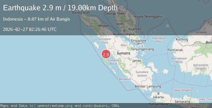
Earthquake Southern Sumatra, Indonesia
Fri, 27 Feb 2026 02:26:46 GMT
Time2 hours ago
Location
-0.2860, 99.0176
Depth
18.5 KM
Event Summary
A 2.9 magnitude earthquake struck on Southern Sumatra, Indonesia, at Fri, 27 Feb 2026 02:26:46 GMT. Depth: 18.539614km. Reviewed by BMKG seismologists, this minor quake occurred at a magnitude type of M.
Magnitude
2.9
M
Source
BMKG
Intensity
-
Agency Reports
1 Sources| Source | Magnitude | Depth | Time |
|---|---|---|---|
| BMKGPrimary | 2.9 | 19 km | 2 hours ago |
Earthquake Details
ManualEvent IDbmg2026eain
Tsunami PotentialNo
Magnitude TypeM
Nearest Places
- 26.7 km
- 33.6 km
- 36.6 km
- 37.2 km
- 38.3 km
Comments
Join the discussion about this event.
Latest Earthquakes
3.3Mag
Tarapaca, Chile
Time2 hours ago
Depth112.92 km
SourceVYT (Automatic)
1.2Mag
Central Alaska
Time2 hours ago
Depth14.16 km
SourceVYT (Automatic)
2.6Mag
Southeastern Alaska
Time2 hours ago
Depth0.00 km
SourceVYT (Automatic)
3.2Mag
south of Alaska
Time2 hours ago
Depth10.00 km
SourceVYT (Automatic)
1.5Mag
48 km N of Moapa Town, Nevada
Time2 hours ago
Depth7.59 km
SourceUSGS (Automatic)
Nearby Earthquakes
5.0Mag
SOUTHERN SUMATRA, INDONESIA
Time16 years ago
Depth60.00 km
SourceEMSC (Automatic)
3.0Mag
SOUTHERN SUMATRA, INDONESIA
Time2 years ago
Depth21.00 km
SourceBMKG (Automatic)
3.0Mag
SOUTHERN SUMATRA, INDONESIA
Time2 years ago
Depth13.00 km
SourceBMKG (Automatic)
5.1Mag
SOUTHERN SUMATRA, INDONESIA
Time6 years ago
Depth53.00 km
SourceEMSC (Automatic)
2.5Mag
SOUTHERN SUMATRA, INDONESIA
Time1 month ago
Depth10.00 km
SourceBMKG (Automatic)